How to Hike Santiago Peak via Maple Springs | Silverado, CA
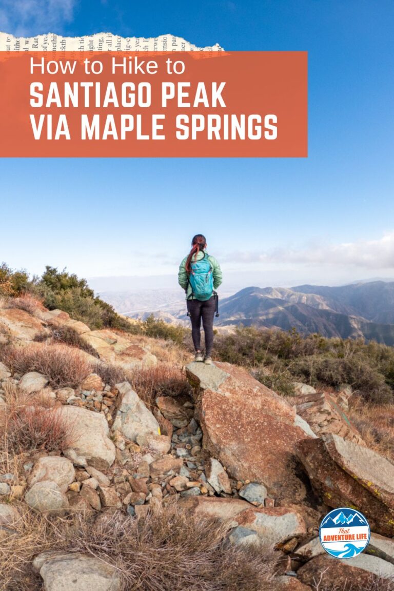
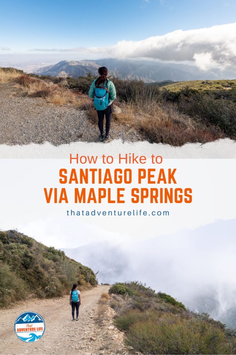
Sitting at 5,689ft above sea level, Santiago Peak is the highest point in Orange County. It is also part of the SoCal Six Pack of Peaks Challenge. Once you get to the top, Santiago Peak offers wonderful 360° views of the surrounding areas. There are a few ways that you can hike to the top of Santiago Peak, with the easiest route via Maple Springs. Since Santiago Peak via Maple Springs follows along the OHV trail, it is quite popular among hikers and off-roaders alike, especially during the weekend. However, if you go on weekdays or early on the weekends, you’ll get this trail to yourself most of the time.
Maple Springs Visitor Center (Long Trail) 31330 Silverado Canyon Rd, Silverado, CA 92676
Parking
Big dirt pull-out on the side of the road.
Restroom
There is no restroom
Fee
You’ll need to have an adventure pass displayed in your vehicle when hiking. For more info, click here. If you have America the Beautiful Interagency Passes, you can use that instead.
Important Things
SEASONAL ROAD CLOSURE: The roads might be closed due to wet weather or fire danger. Road status can be found online here.
Distance
From Off-road Parking: 9.5 mi R.T.
From Maple Springs Visitor Center: 24.5 mile R.T.
Elevation Gain
1,463 ft/ 4127ft gain
Level
Moderate. Some navigation skills are required.
Time:
4-5 hours
Pet-friendly
You can bring your pet, but they have to be on leashed.
Ideal Time
You can hike this trail year-round but we recommend going early on a weekday to avoid all the off-road traffic.
Weather
Video
Getting to the Trailhead
There is a long and short trail that gets you to the top of Santiago Peak via Maple Springs Road. If you don’t have 4WDs or at least high-clearance vehicles, you’ll need to start at the trailhead by Maple Springs Visitor Center. This is a 24-mile out and back with over 4000ft elevation gain. If you have the right vehicle, you can shorten this by about 14 miles, bringing the overall distance to about 10 miles round trip. We put the coordinates of the offroad parking area above.
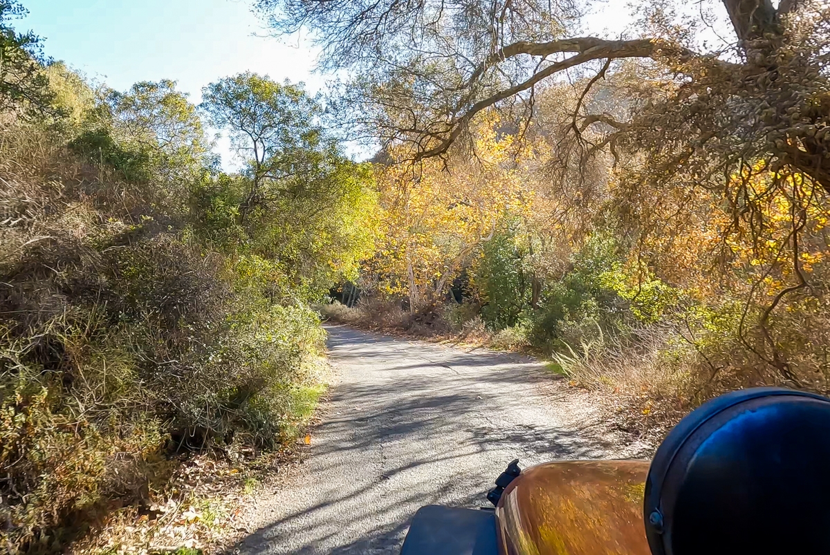
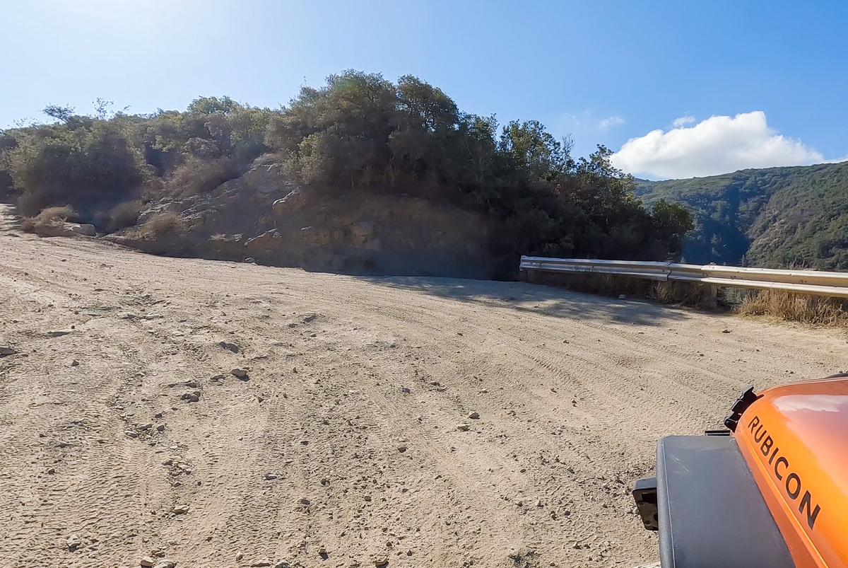
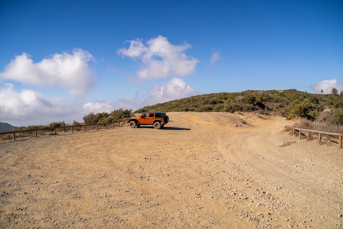
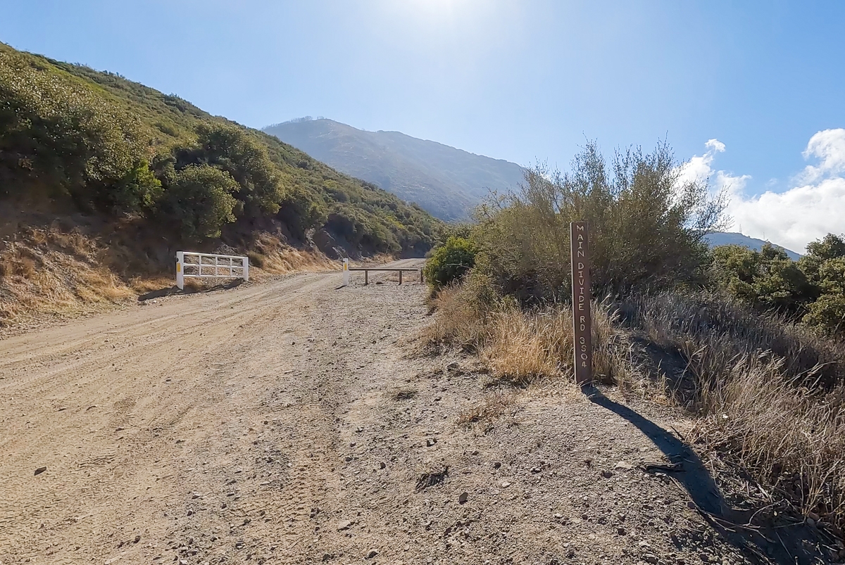
To get to the offroad parking area, you’ll take Santiago Canyon Road to Silverado Canyon Road until you get to the Maple Springs Trailhead entrance. After this point, the road will narrow and soon turn into a dirt road. This dirt road is a single-lane, rough and bumpy road. You will need 4WDs or at least something with high clearance to safely drive up this road. About 7 miles or so, the dirt road Maple Springs Road meets up with Harding Truck Trail and N. Main Divide Road. There is a big dirt patch on the right-hand side where you can park to start your hike. Don’t forget to displace your Adventure Pass. We have our “America the Beautiful” pass so that works too.
Previous
Next
The Adventure
The Start of The Hike
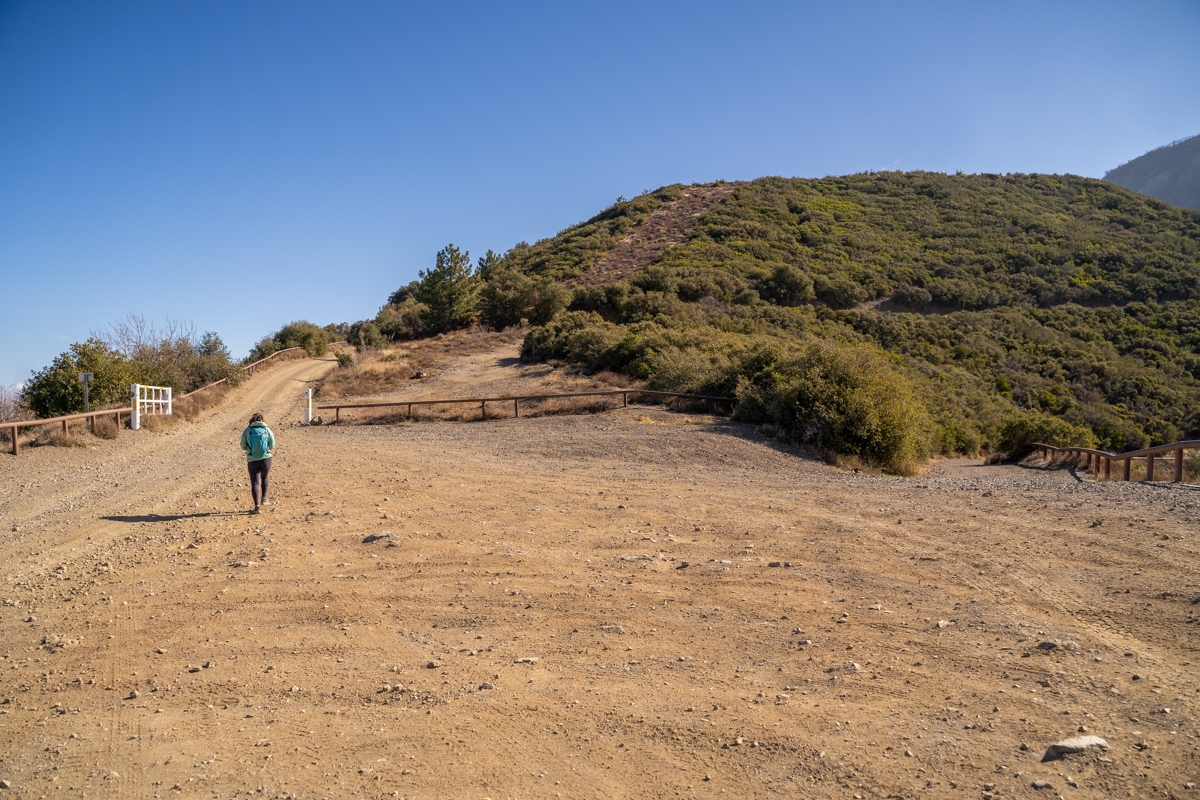
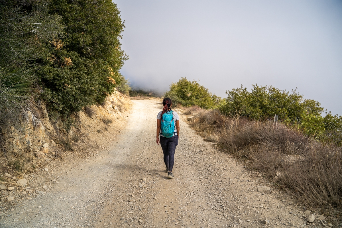
After leaving the dirt lot, we hiked up a short hill before turning right toward a gate for the N. Main Divide Road. This is the only junction on the trail until you get to the top. So, it is very easy to follow. Most of the way, the trail to Santiago Peak via Maple Springs is moderately steep with only the last 1.5 miles becoming a steady climb. Since this trail shares the same OHV Road used by off-roaders and dirt bikers. Most drivers are considerate and slow down when passing hikers. However, some don’t care, especially dirt bikers. So, make sure to be careful and keep an eye out for them. If you want some peace and quiet, go early on a weekday. We went on a Wednesday morning and had the whole trail to ourselves until we were almost back.
Previous
Next
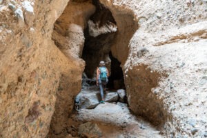
Along the Santiago Peak via Maple Springs Hike
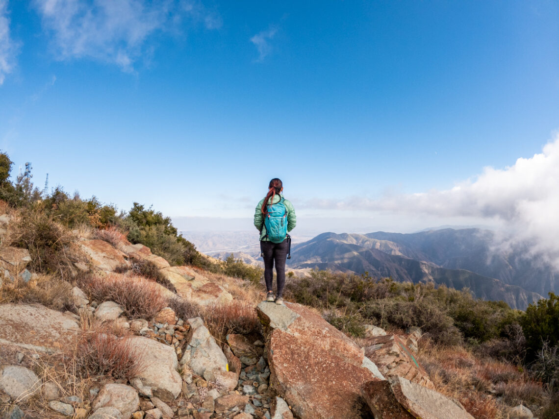
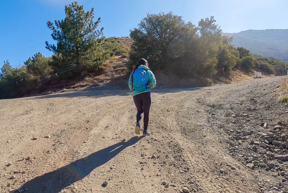
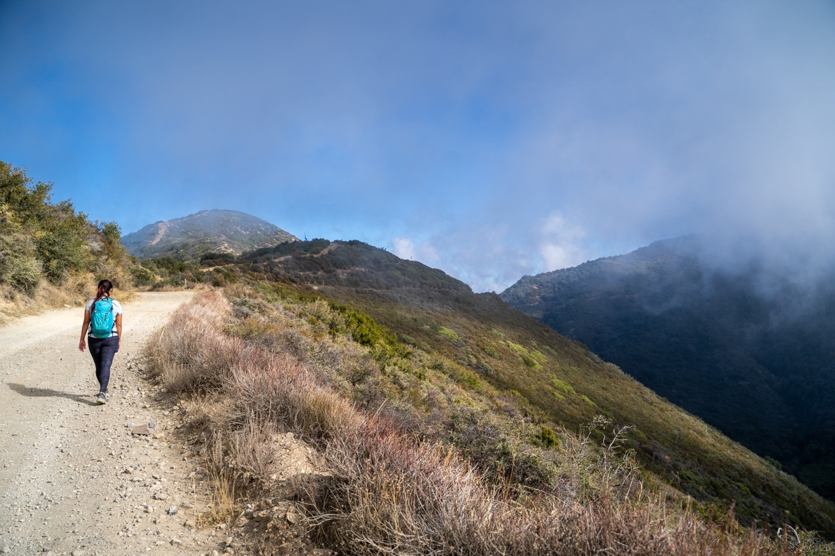
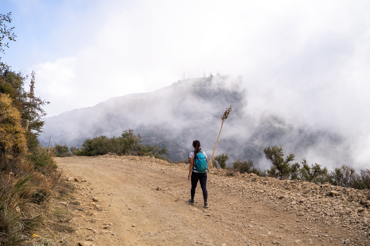
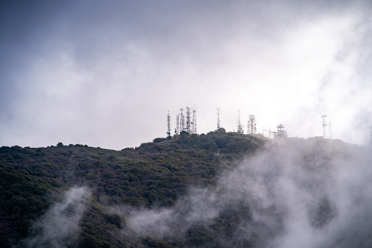
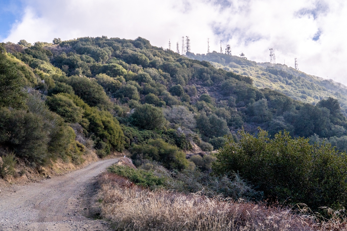
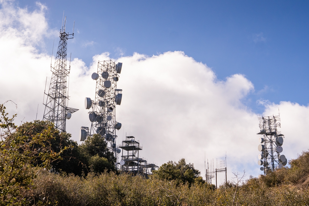
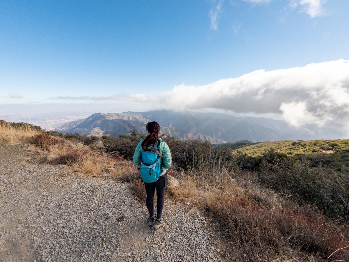
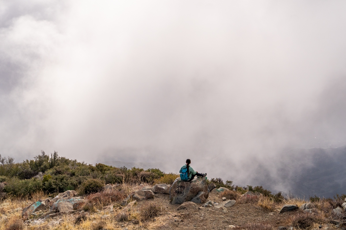
The Santiago Peak via Maple Springs trail switches back and forth as it climbs toward Santiago Peak. Along the way, we got to see the beautiful views of the valley below. As we climbed higher, the fog rolled in and engulfed sections of the trail. It was quite interesting because it felt like we were hiking in the clouds. Even with the fog, we could see glimpses of our destination, the arrays of radio towers sitting above the peak.
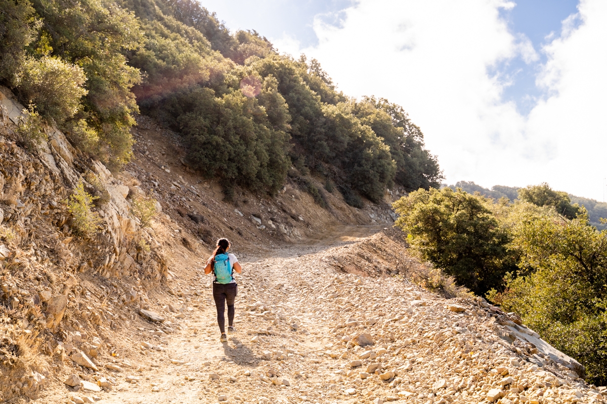
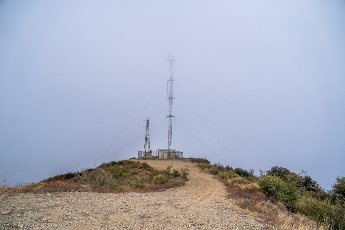
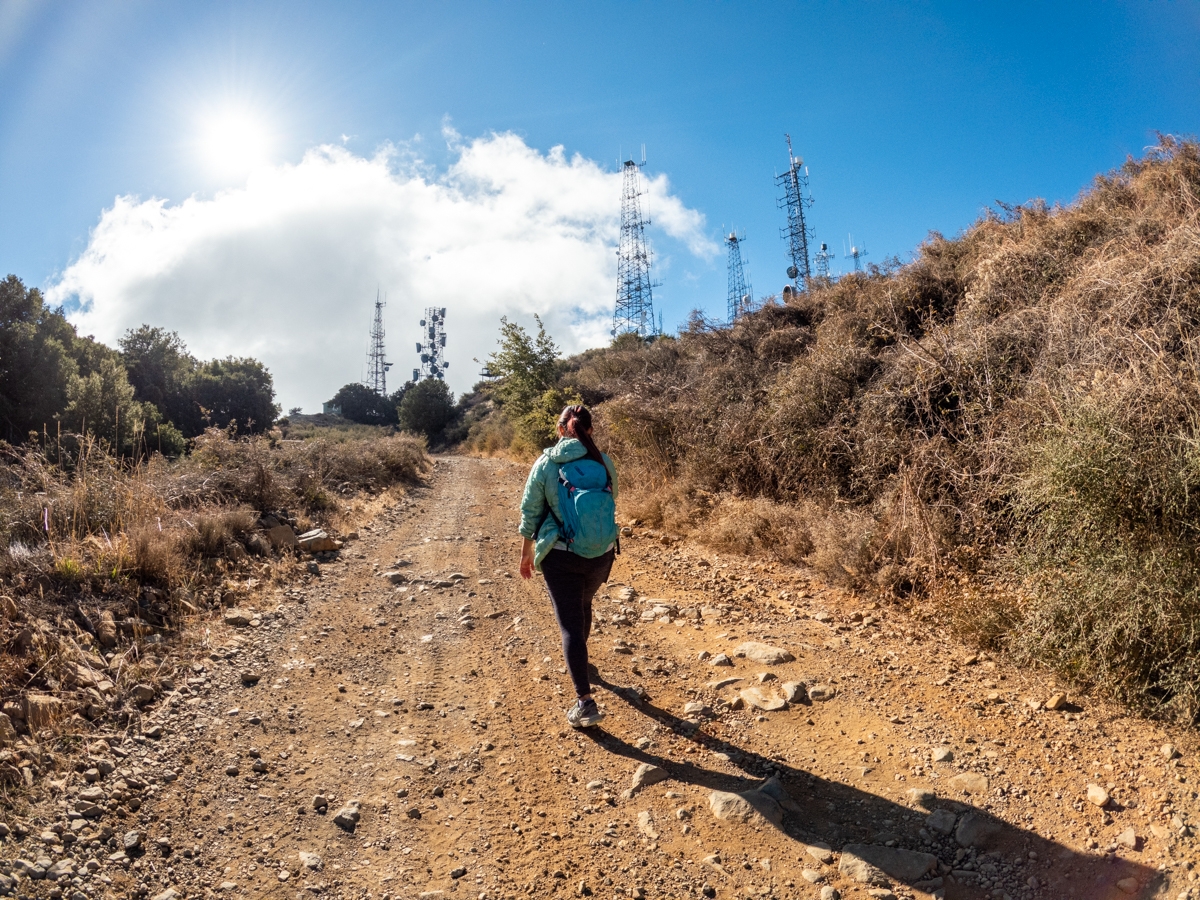
About 1.5 miles before reaching Santiago Peak, the trail becomes quite a bit steeper. We were breathing heavily as we climbed towards our victory. As we round the corner, we saw the radio towers getting closer. The summit can get a bit confusing because there are a lot of side roads and towers. As we got closer to the towers, we kept right to climb toward the taller radio towers.
Previous
Next
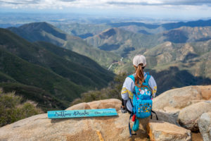
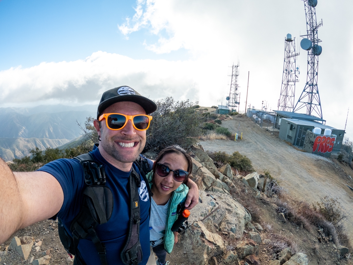
The Summit of Santiago Peak
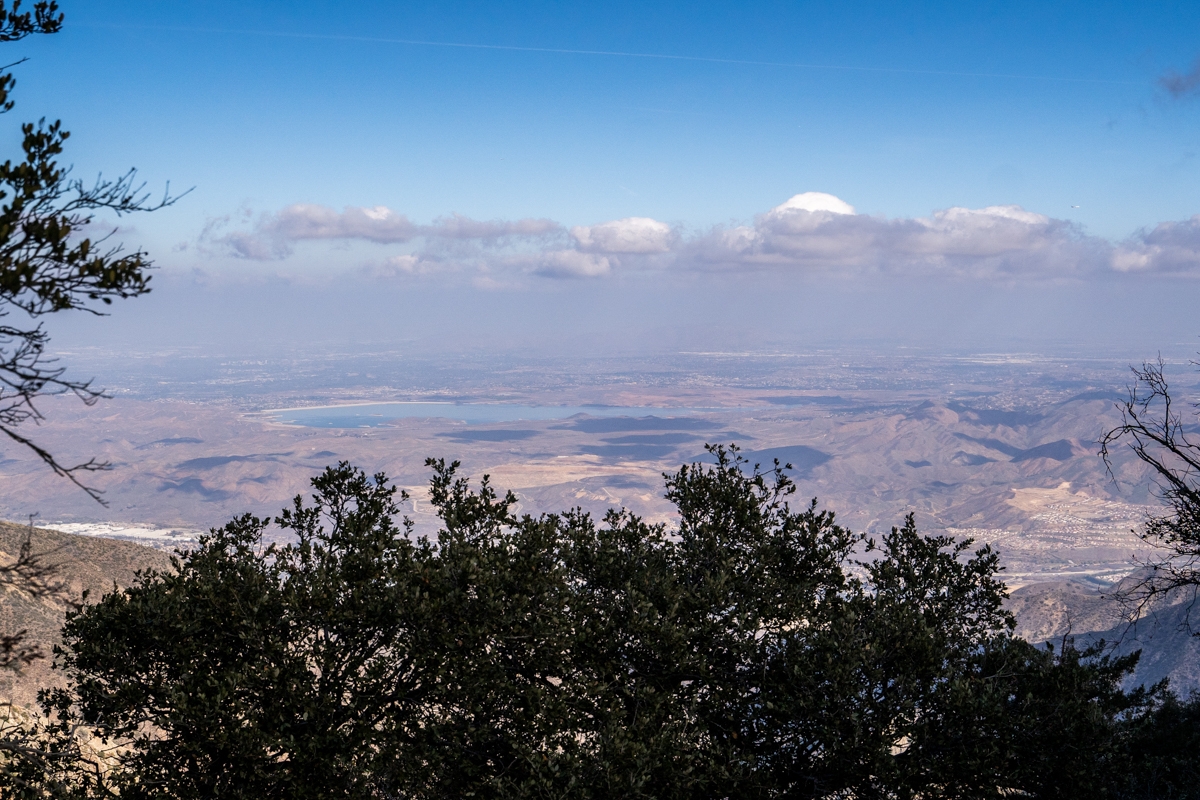
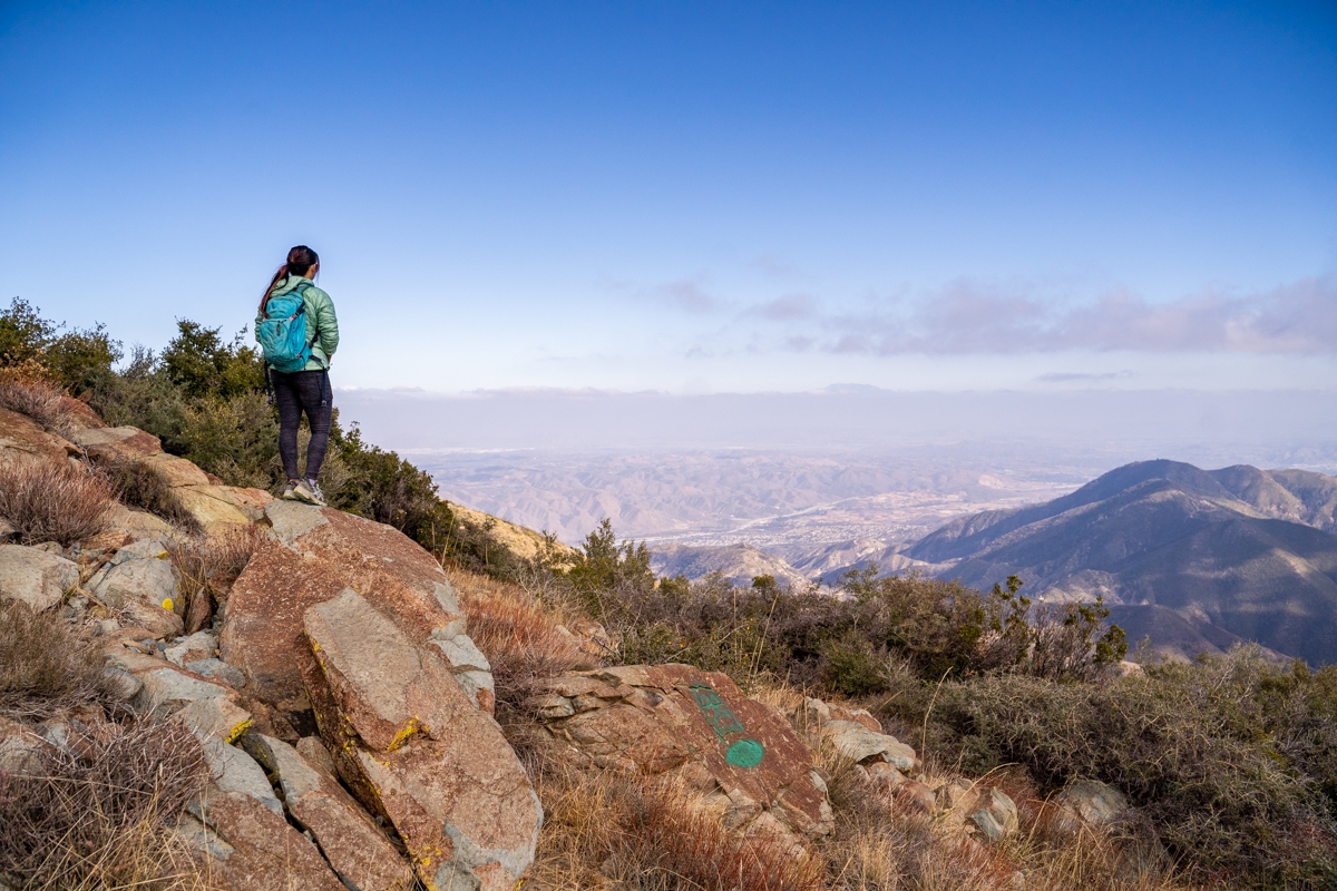
To get to the viewpoint of Santiago Peak, we walked past the main towers and then followed a small trail that led up to the viewpoint. The fog was still hanging around near the top of the viewpoint. However, we climbed down a bit and were able to get some view of northeast San Bernardino County and the eastern section of Riverside County. On a clear day, you could also see Orange County and even Catalina Island. Not today though.
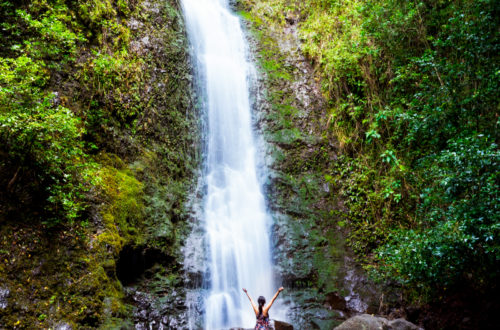
To be honest, we were a little disappointed with the summit because of all the towers. It felt anticlimactic. But we were glad that we were able to check this one off the list. Overall, it was a fun adventure and a great workout. Some other hikes in Socal that we think you would like are Sitton Peak, Monserate Mtn Trail, Upper Hot Springs Canyon, and Etiwanda Falls.
Previous
Next
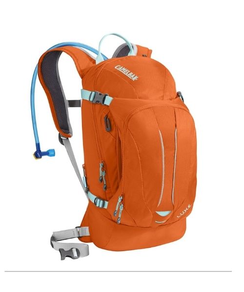
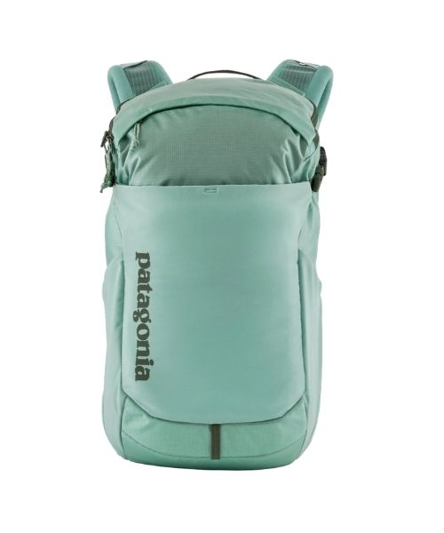
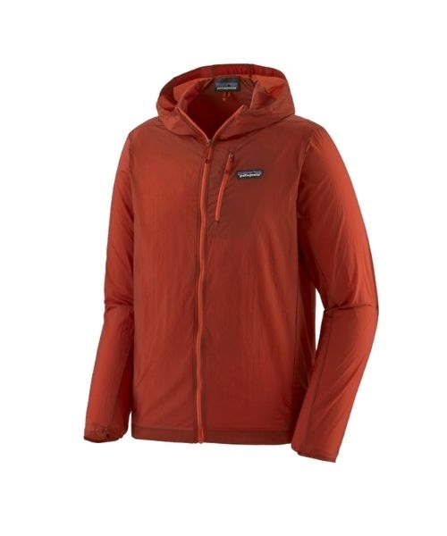
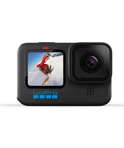
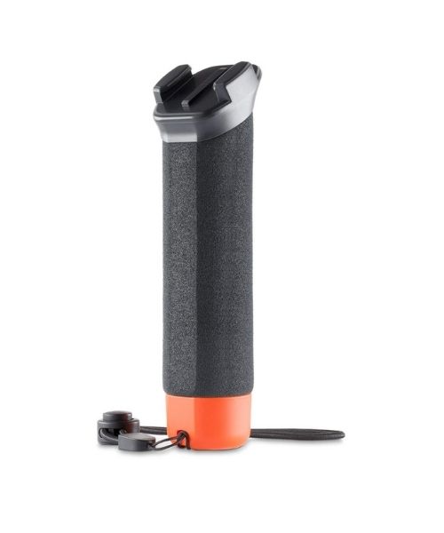
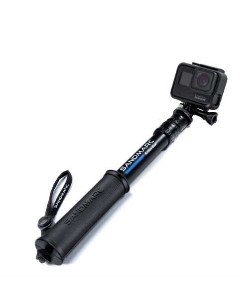
These are the gear that we personally use and find them helpful for this particular adventure. Don’t forget to check out our Recommended Gear section as well.
adventure gear
This is our favourite hiking shoes. We use them for canyoneering as well. Lots of traction. Vy’s version.


