
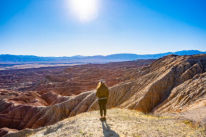
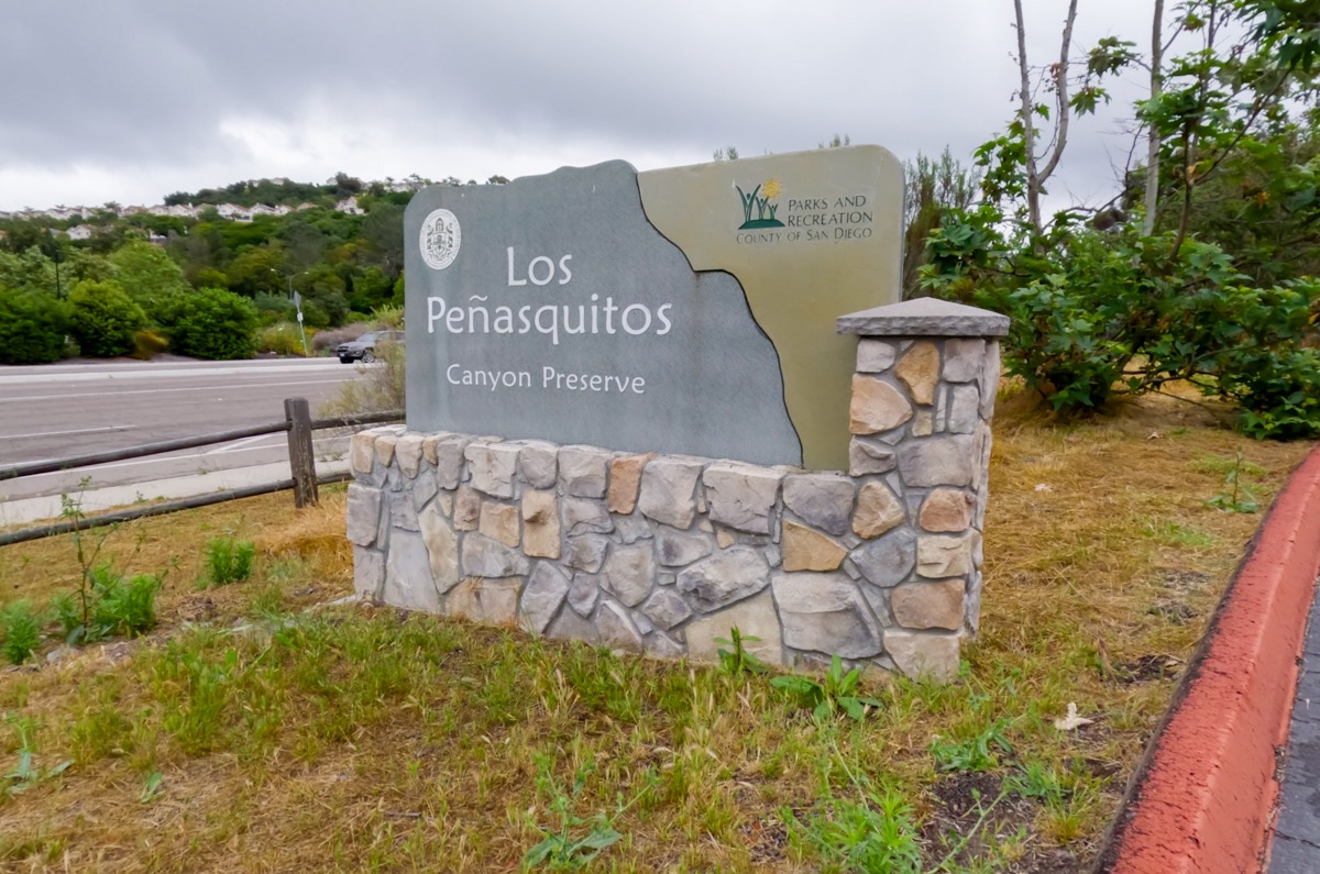
Nestled within the northern suburbs of San Diego, Los Peñasquitos Canyon Preserve is one the largest urban parks in the USA with 4,000 acres. It is also one of the most bio-diverse areas in Southern California. In the preserve, the Los Penasquitos Canyon Trail is the most popular trail that takes hikers through a forest of giant California oaks and sycamores, a year-round creek, beautiful bridge crossings, and finally, a gorgeous rocky canyon with waterfalls plunging through volcanic rocks. There are many different trailheads that lead to the waterfalls. In this guide, we will show you the most popular route that starts at the main trailhead, located at the park headquarters.
Note: Please make sure to respect this beautiful place and the surrounding areas. Always practice LEAVE NO TRACE. This means no loud music, no graffiti, no taking artifacts or fossilized items, and pack out what you pack in! Please help us protect this place for generations to come!
Stats
Where
Main Trailhead for Los Penasquitos Canyon Trail:
12020 Black Mountain Rd, San Diego, CA 92129
32.938458, -117.129826
Creek crossing:
32.937861, -117.150444
Parking
There is a decent-sized paved lot in front of the trailhead.
Restroom
There are restrooms at the trailhead
Fee
There’s an entry fee for the park, cash only. $3 at the time.
Important Things
- There are a few other trailheads to enter this trail, however, the one listed above is the main trailhead.
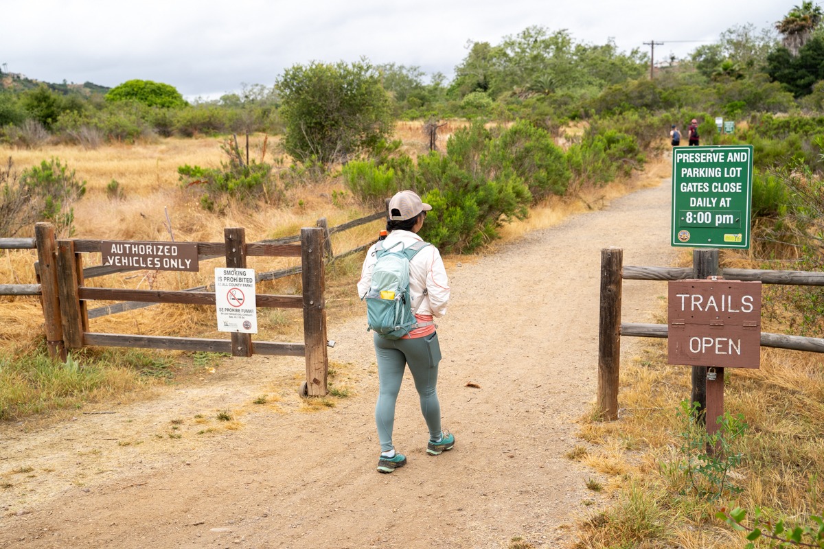
- At the main trailhead, the gate will be closed at closing time. Please make sure to take note of the closing time when you start your hike. If you arrive after closing, your car will get locked in.
Right after a rainy day, trails may be closed due to flooding or damage. For up-to-date trail status call the Park Ranger Office at (858) 538-8066.
Distance
6.8 mi Loop
Elevation Gain
157 ft
Level
Easy
Time:
2-3 hours
Pet-friendly
You can bring your pet, but they have to be on a leash.
Ideal Time
You can attempt this trail any time of the year, however, it is best to hike on a dry, cool day. It is a popular trail so if you’re going on a weekend, go early.
Weather
Video
Getting to the Trailhead
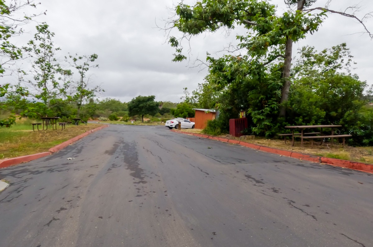
The main trailhead for the Los Penasquitos Canyon Trail is located at the park headquarters, at the corner of Mercy Road and Black Mountain Road. We listed the address above so you can use it to GPS your way there. There is a small fee for parking here. It was $3 at the time that we went. Don’t forget, it’s cash only. This park is popular so the parking can fill up fast on the weekend. If you can go early on the weekend or on a weekday. The Los Penasquitos Canyon Trail starts at the very end of the parking lot.
The Adventure
The Start of the Trail
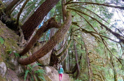
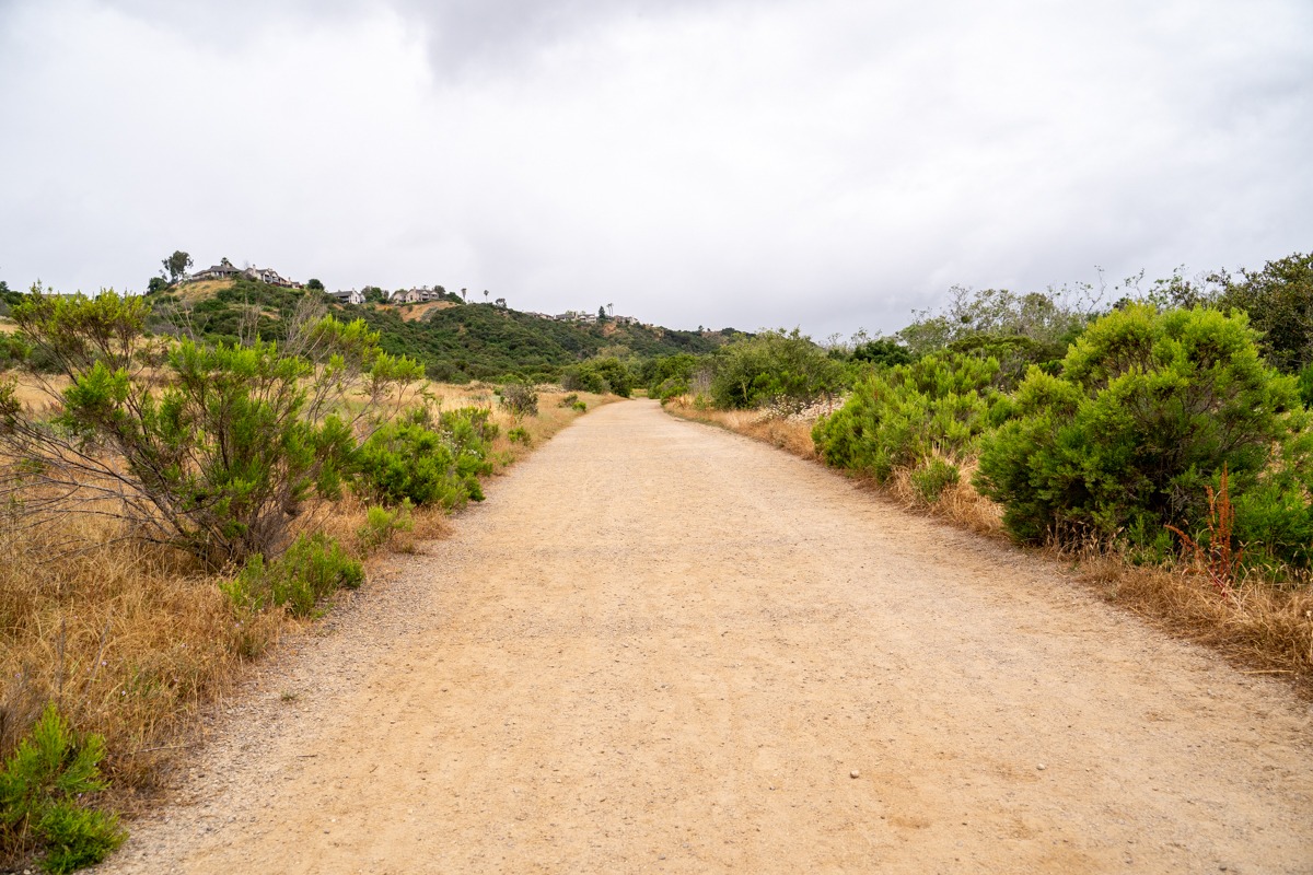
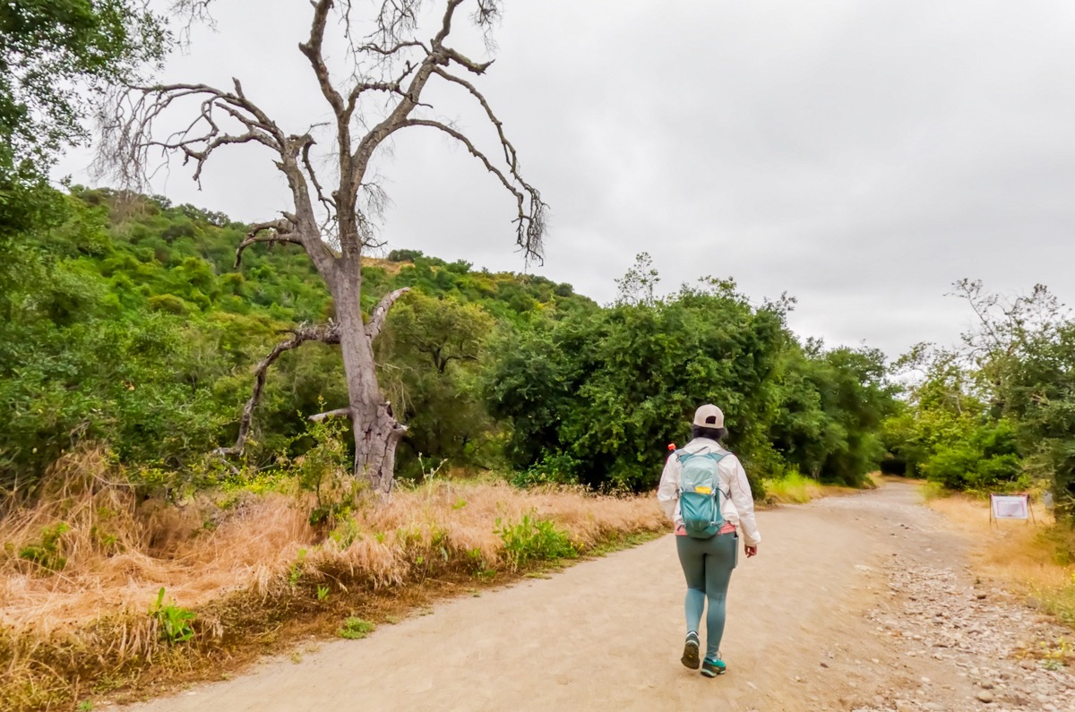
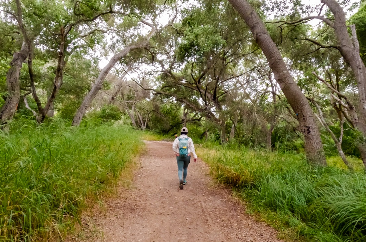
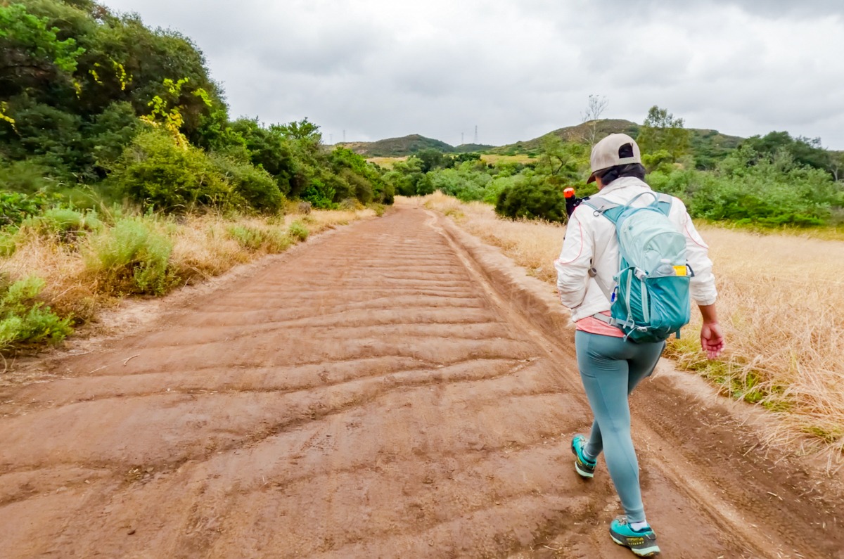
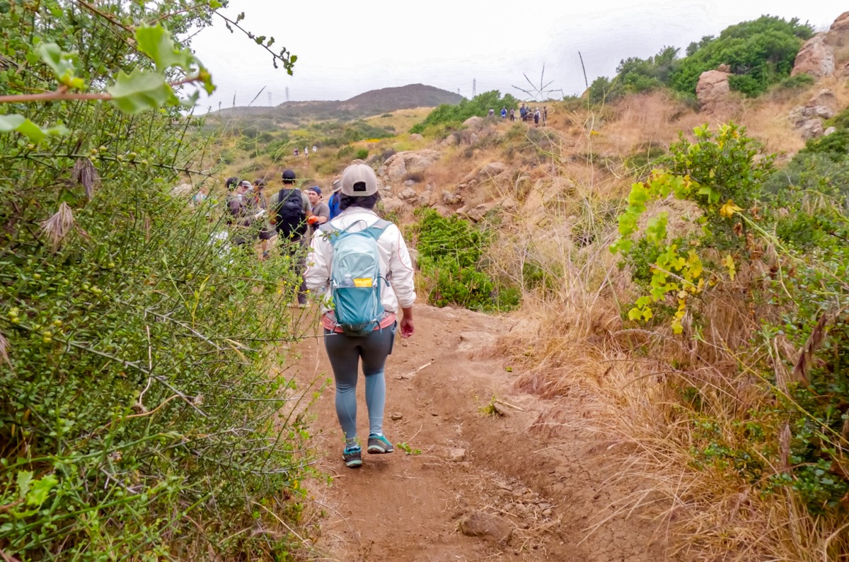
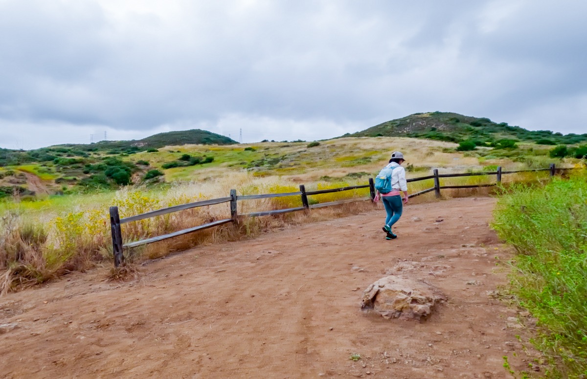
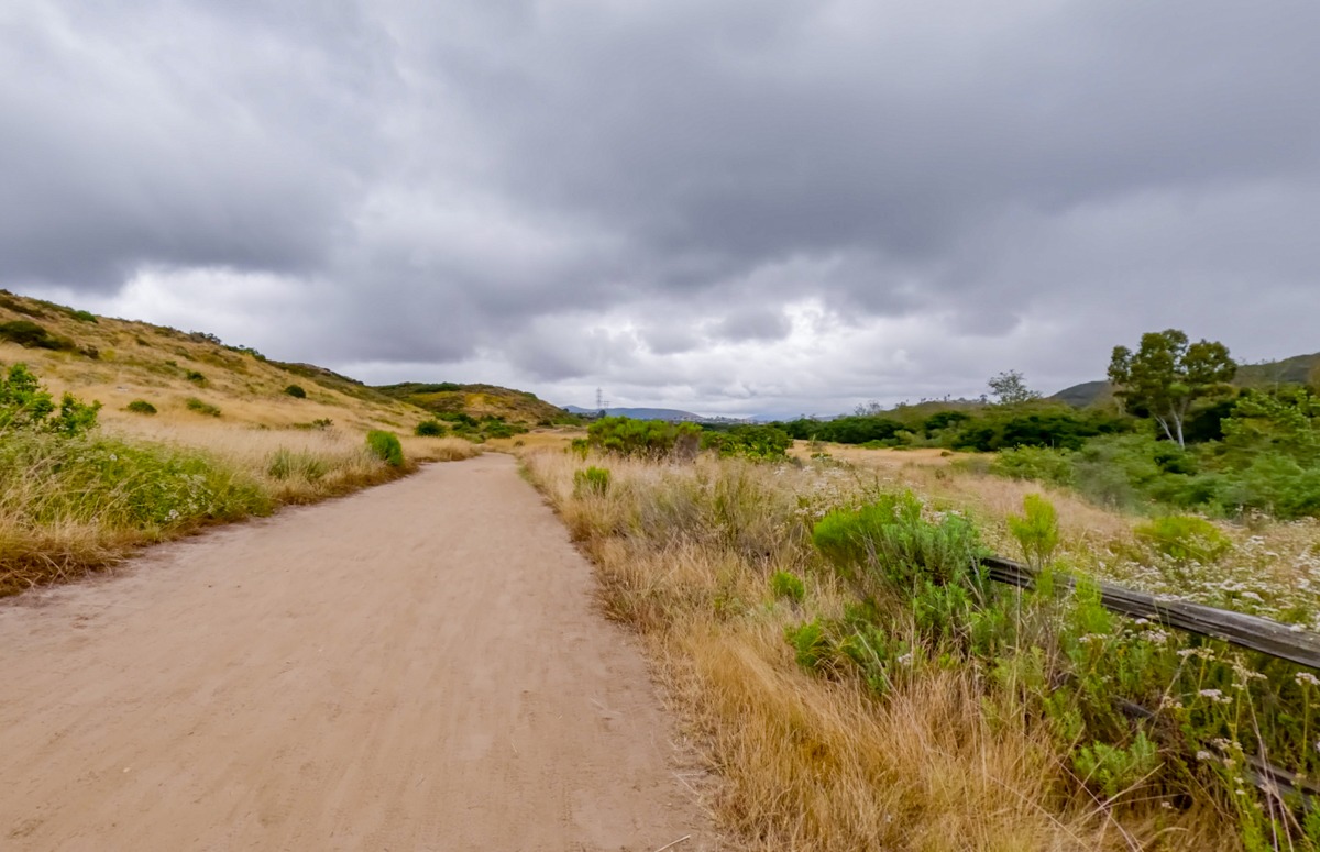
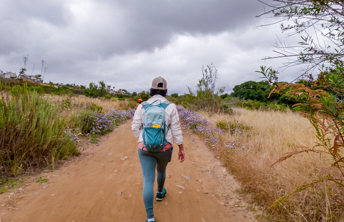
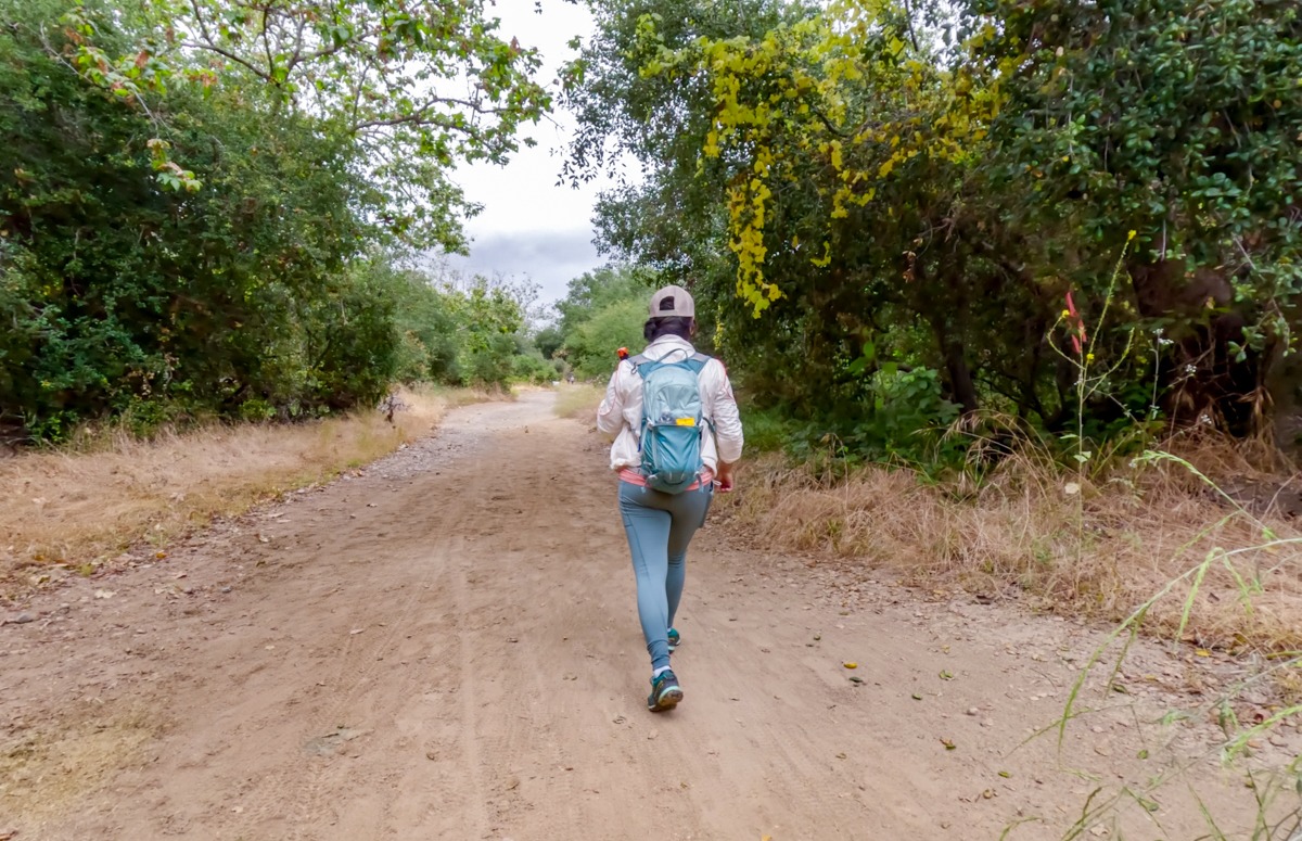
We started our hikes on an overcast day. As we crossed over the gate, there were a few mountain bikers leaving the trail. The Los Penasquitos Canyon Trail is a popular biking and horse-riding trail so please make sure to keep an eye out for bikers and horses. Most of the time, the trail is wide and flat and quite easy to follow. There are many side trails along the way, however, as long as you stay on the wide main trail, you should be fine.
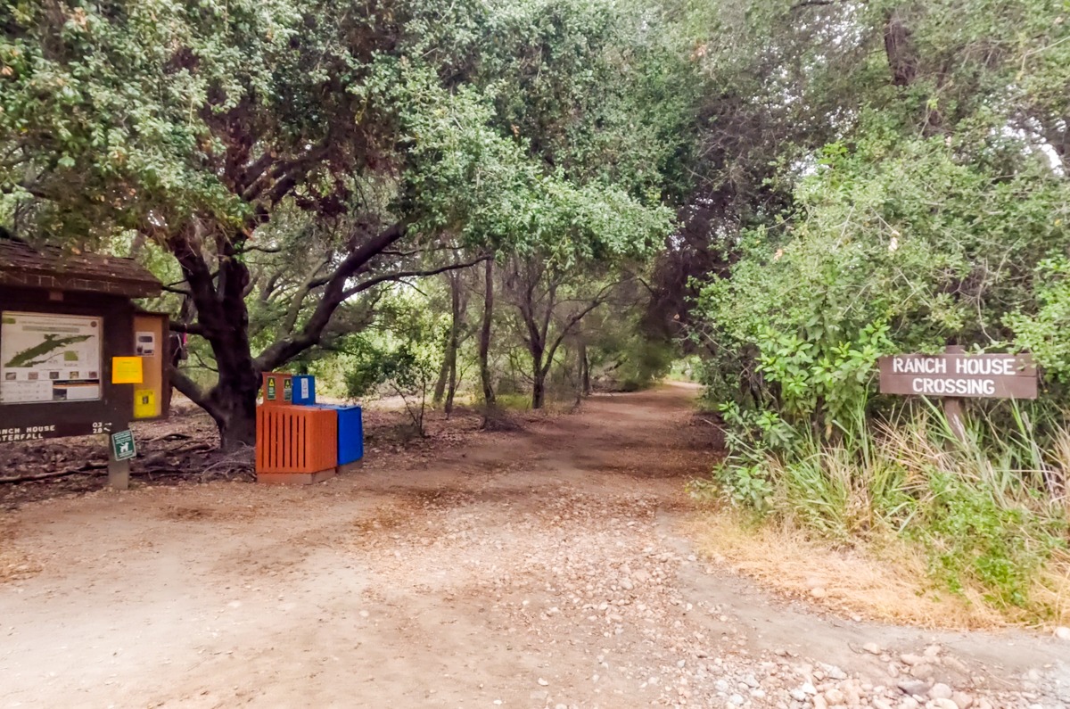
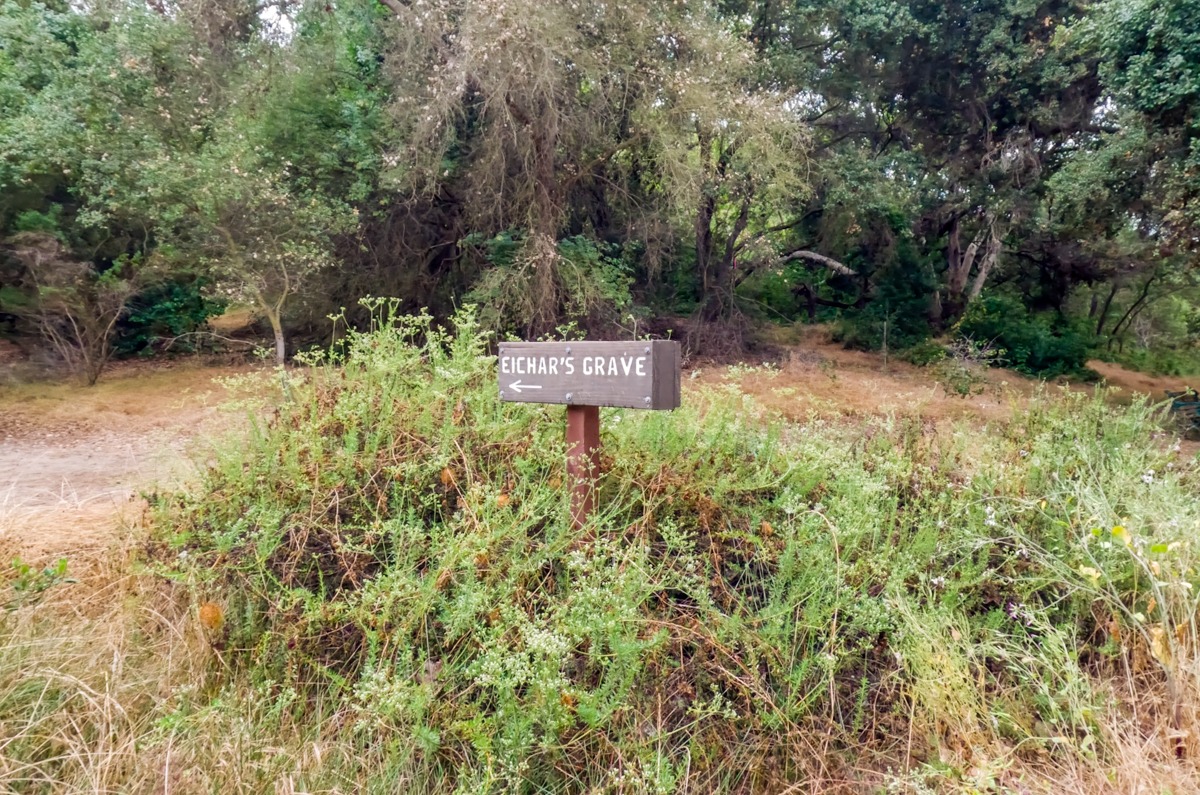
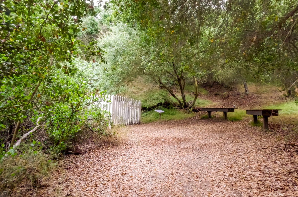
After a short distance, we came upon the Ranch House Crossing intersection. There are a few of these crossings along the way. These crossings will take you to the north side trail. We will be taking one of them back to make this trail into a loop. Once again, we stayed on the main trail. About 0.1 miles past the Ranch House Crossing junction, we came upon a small sign for Eichar’s Grave. We were surprised to see a grave site here so we went to take a look. It’s a short detour to this interesting little landmark here. John Eichar, buried here, was a descendant of a Bavarian prince, who fled to the USA in 1750. He came to work as a cook at the ranch.
After Eichar’s Grave
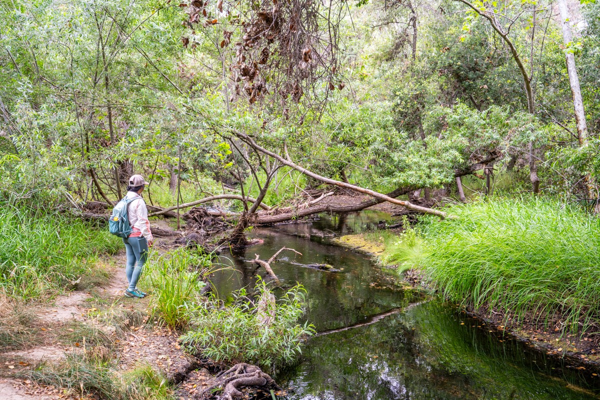
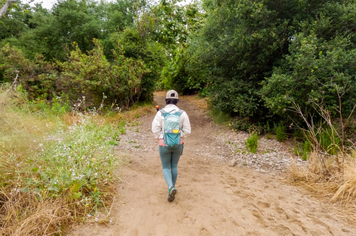
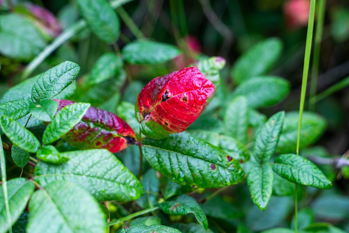
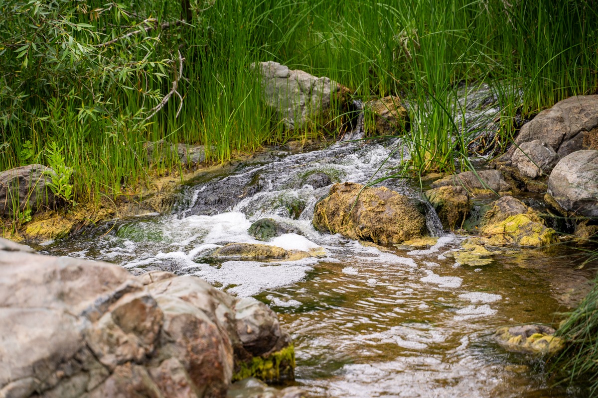
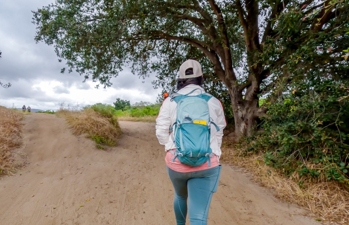
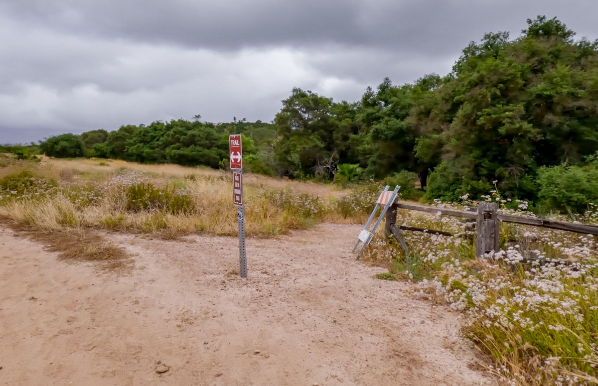
Once we said goodbye to John Eichar’s grave, we made a quick stop at the creek that ran along the main trail. This spot is really beautiful so make sure to stop. After leaving the viewpoint, the main Los Penasquitos Canyon Trail weaved in and out of the tall trees. Along the way, we encountered many small side trails but they looked overgrown so we stayed on the main trail. There are also a few signages on the trail. We made sure to follow the sign for the waterfall. By the way, please make sure to pay attention to where you’re going. There are tons of poison oaks along the trails.
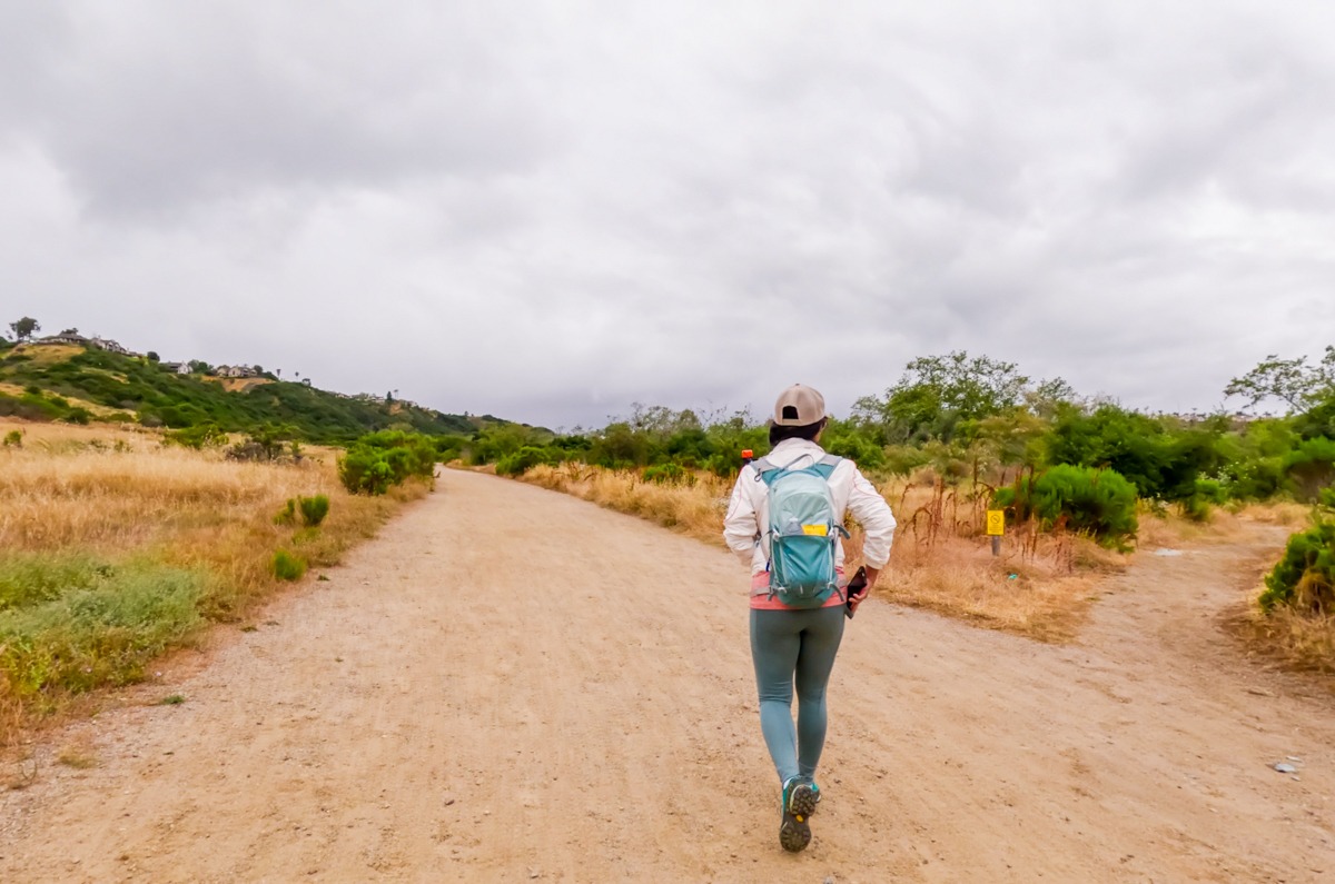
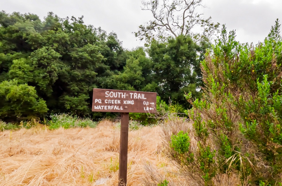
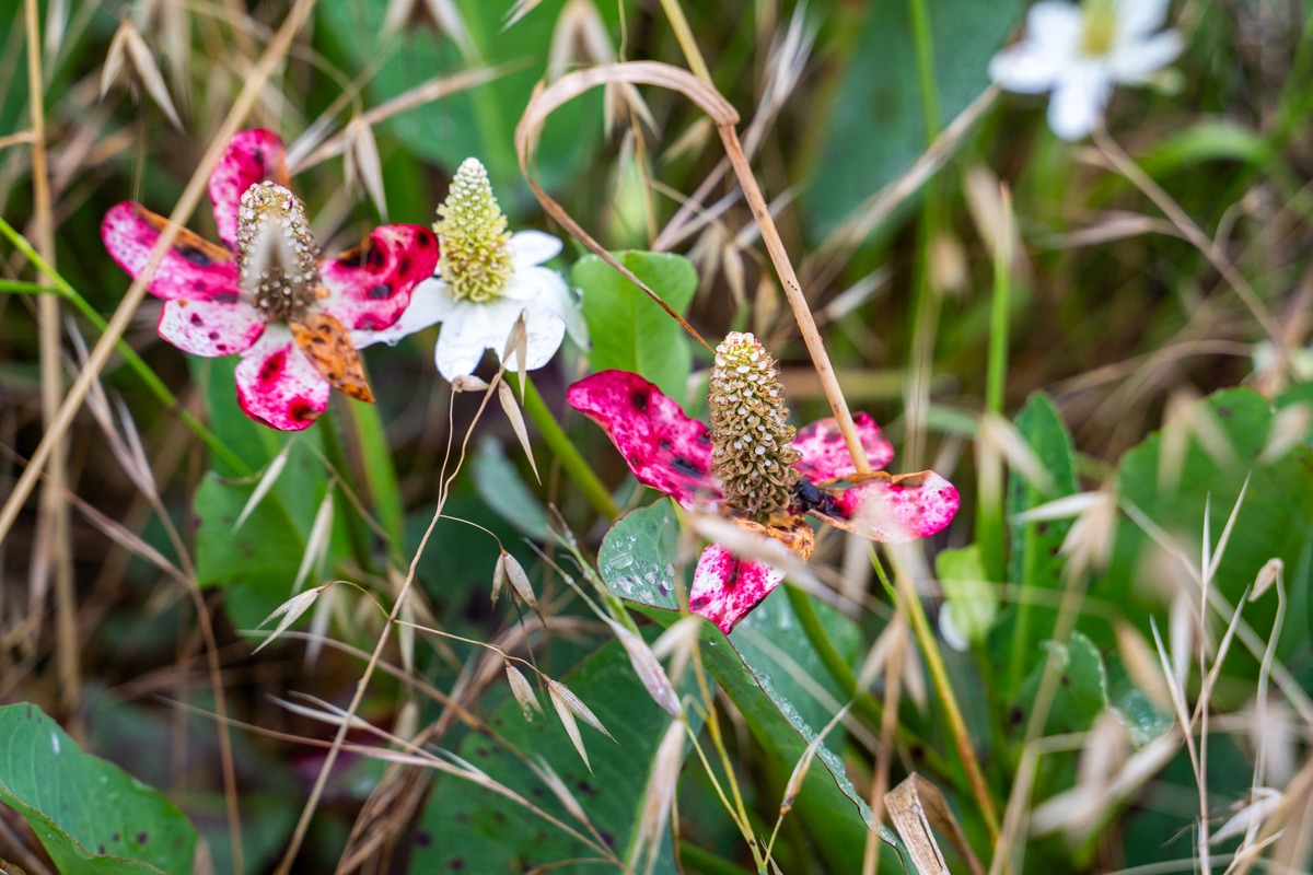
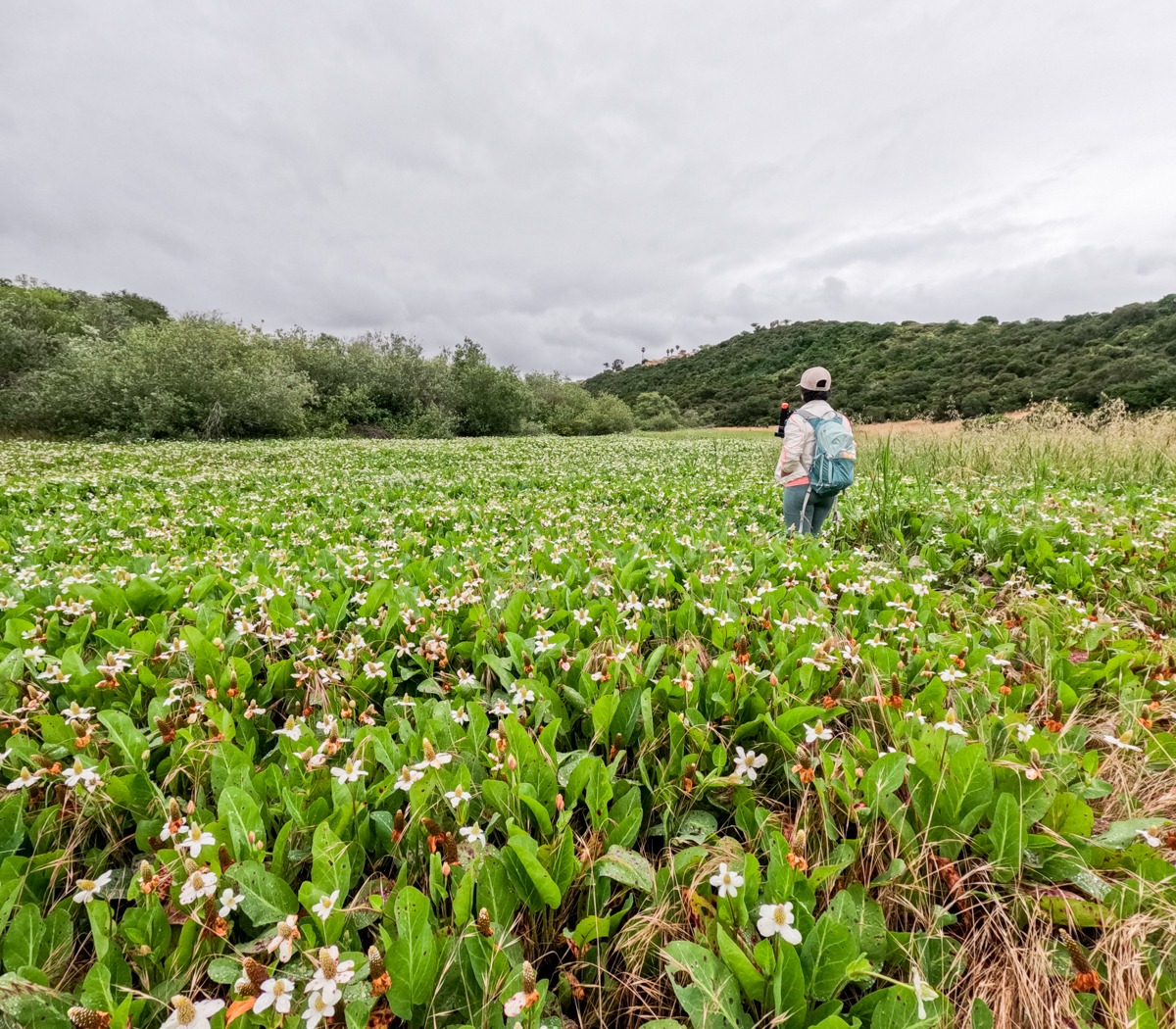
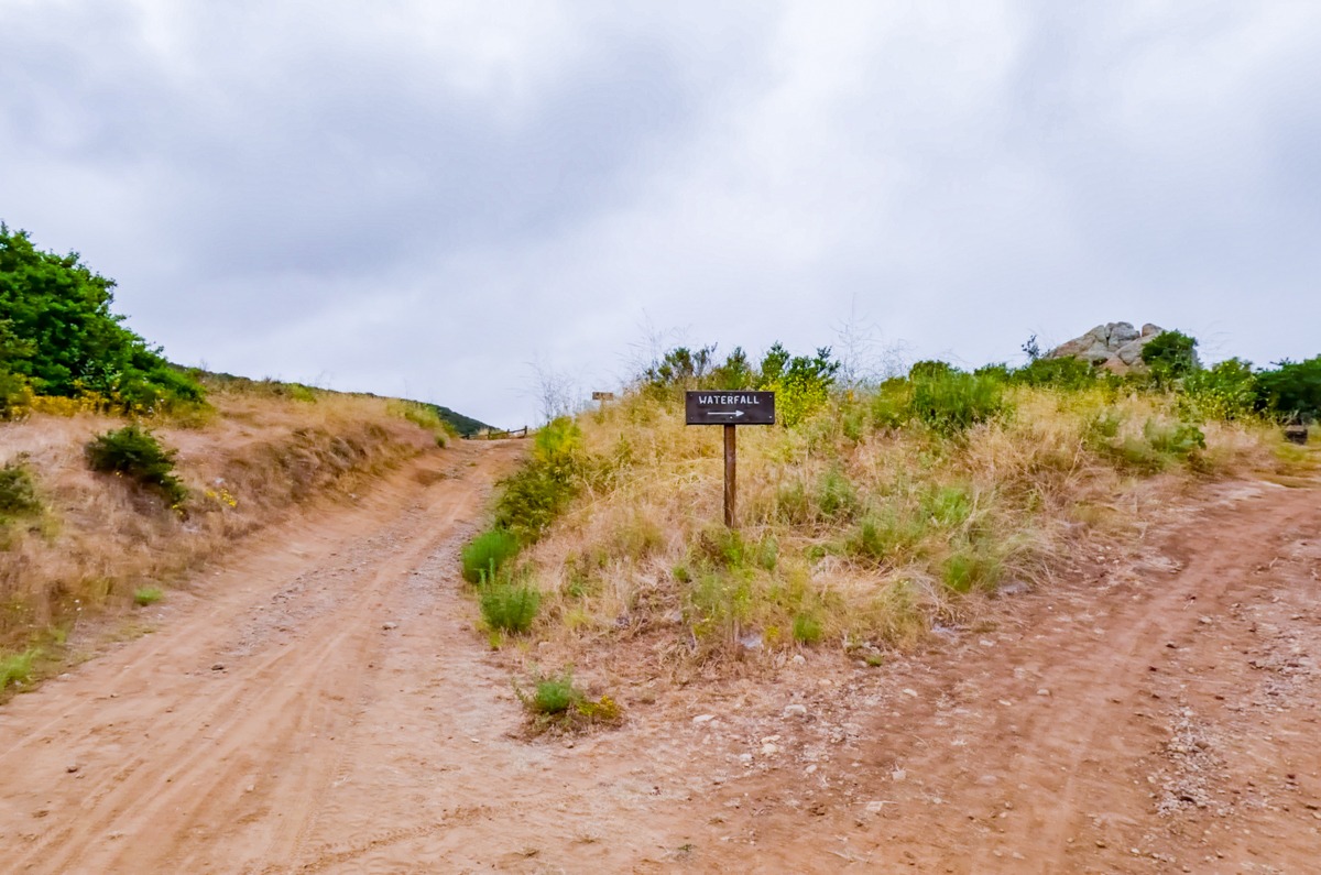
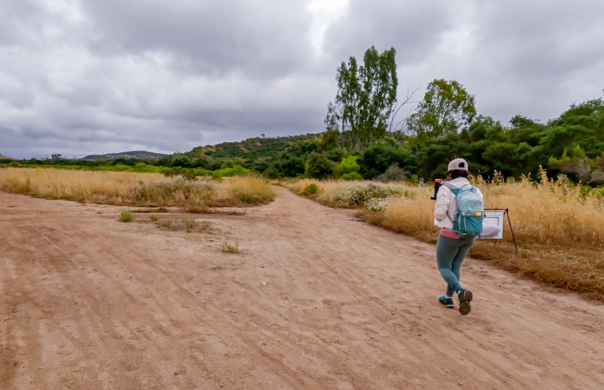
Eventually, the Los Penasquitos Canyon Trail opened up to a vast field. When we went, the field on the right-hand side was full of these beautiful Yerba Mansa flowers. This flower field seemed like it was going on forever. After leaving the flower field, we quickly past over Carson’s crossing and came to another directional sign for the waterfall. At this point, we were about 0.8 miles to the waterfall.
Almost to the Waterfalls
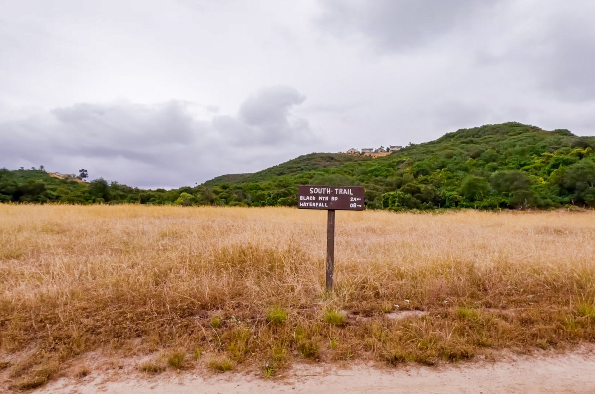
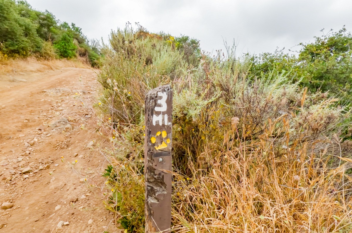
This 0.8 miles seemed to go by quite fast. The Los Penasquitos Canyon Trail continues through grassy fields and tall trees before heading up a small hill with a mile marker for 3 miles. At this point, we were a short distance to the right turn towards the waterfall. Don’t worry, there are signs telling you where you can go.
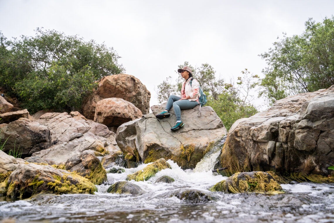
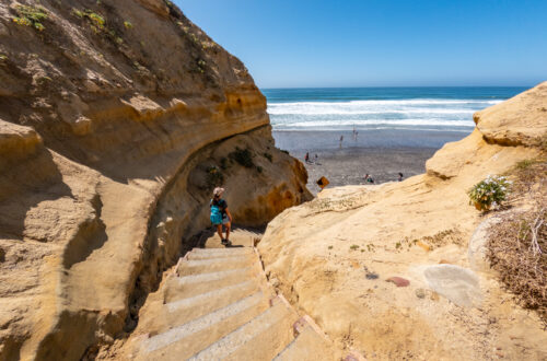
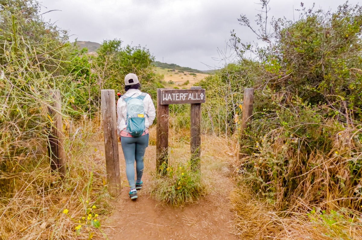
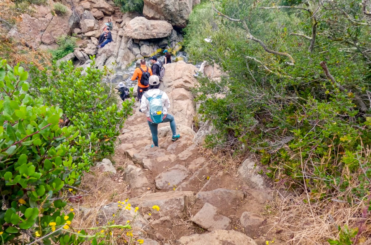
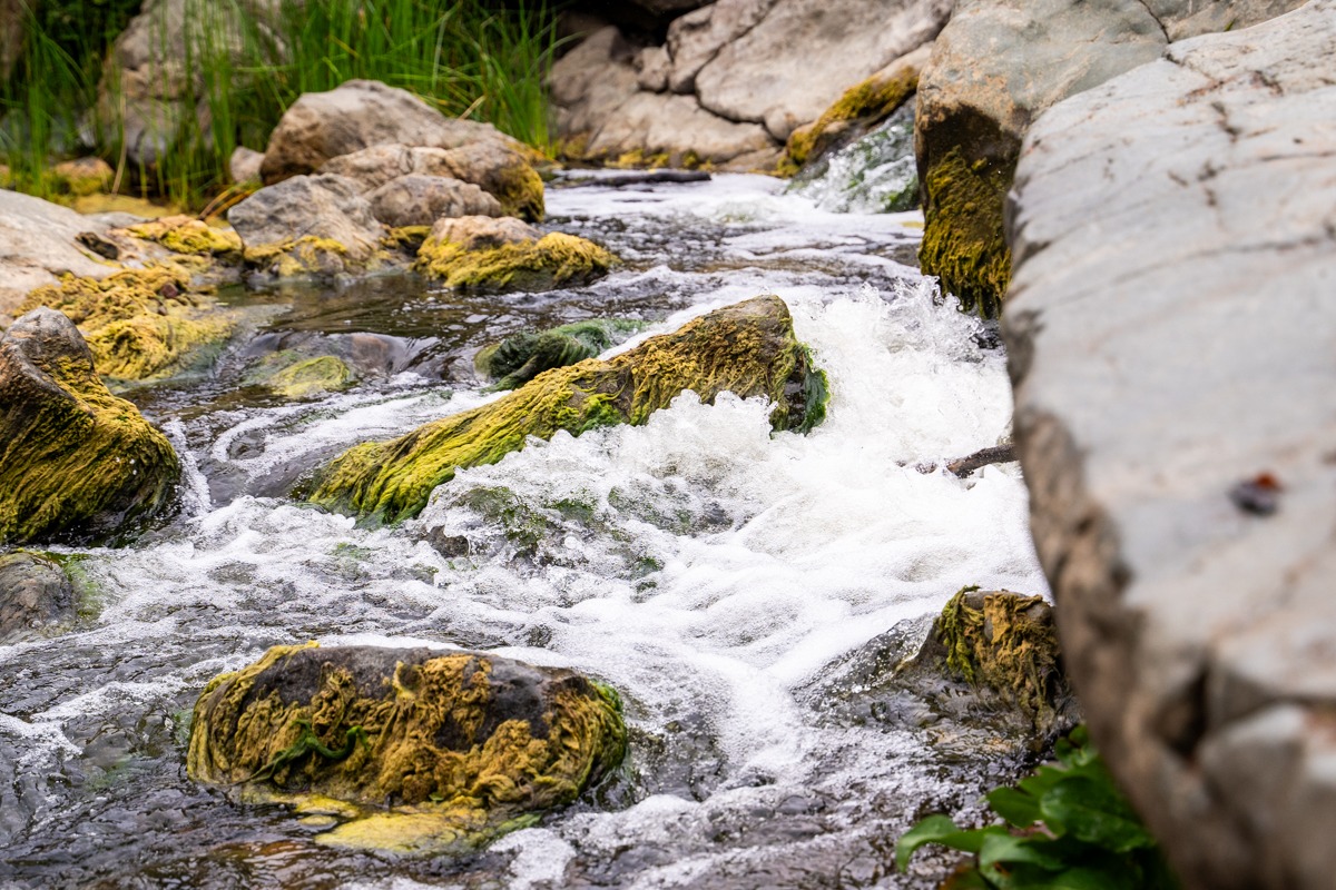
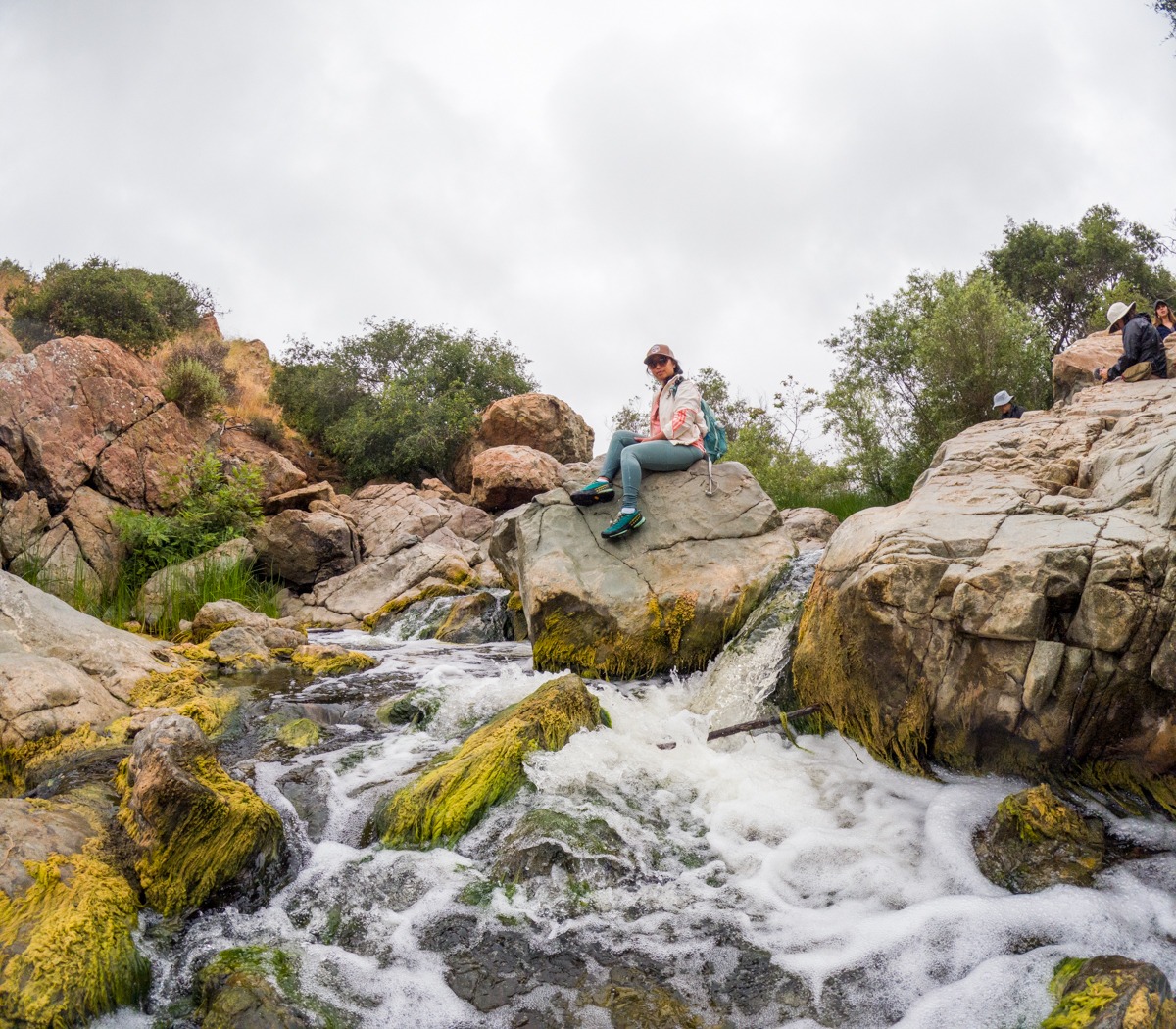
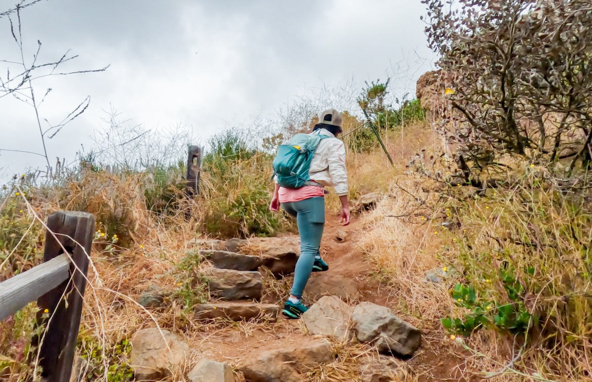
The Waterfalls
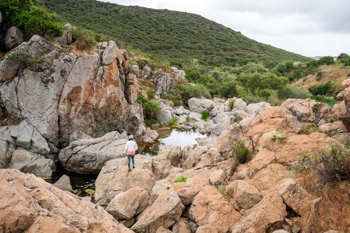
After turning right at the waterfall sign, we continued to pass through the wooden posts, descend a small yet slippery hill, and lead into rocky stairs. Here, we saw a bunch of people, enjoying the view. The trail leads down to the bottom of a rocky canyon, where the water is rushing through the volcanic rocks. It was quite pretty once we got down. The waterfalls are not that impressive but the whole area is just breathtaking. There is so much to explore if you want. We loved scrambling around all the rocks. However, if you do, please make sure to be careful, these rocks are quite smooth and slippery.
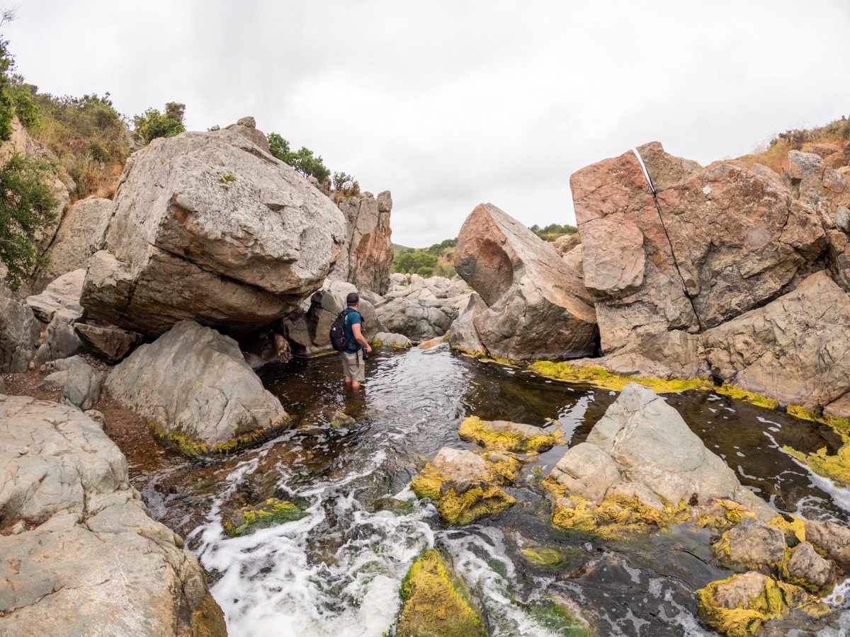
The North Side of the Trail - Hiking Back
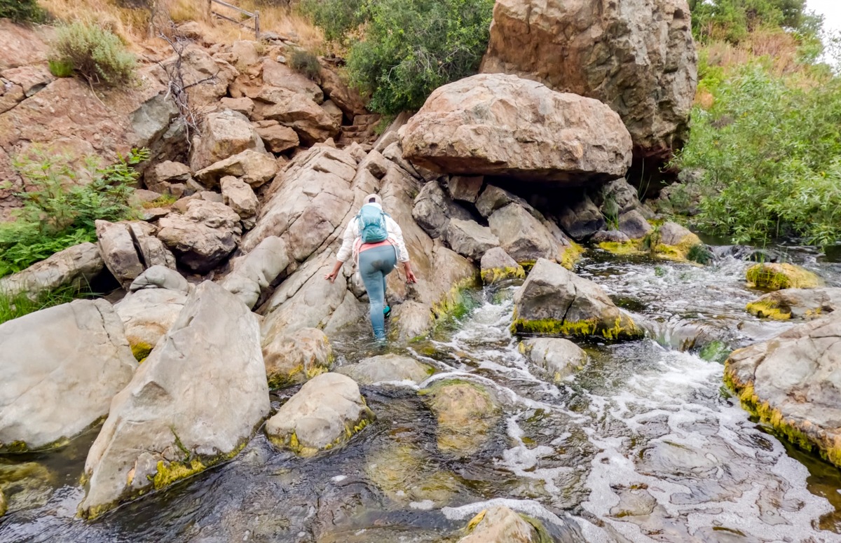
Now, you have two options. You can either return the way you came from, or you can follow us and cross over the creek to the north side and make this into a loop. Be careful crossing over. The water flow can be fast and it can get slippery. Once we crossed over, we also explored the canyon on this side before heading back.
To go back, we hiked up the short rocky stairs and then turned right to follow the main trail. If you want to feel like you’re away from the hustle and bustle of the city, the south side trail of the Los Penasquitos Canyon Trail definitely gives you that feeling. However, the north side of the trail runs along the edge of the suburbs so we could see electric towers and houses as we hiked along. It wasn’t that bad but we prefer the other side better.
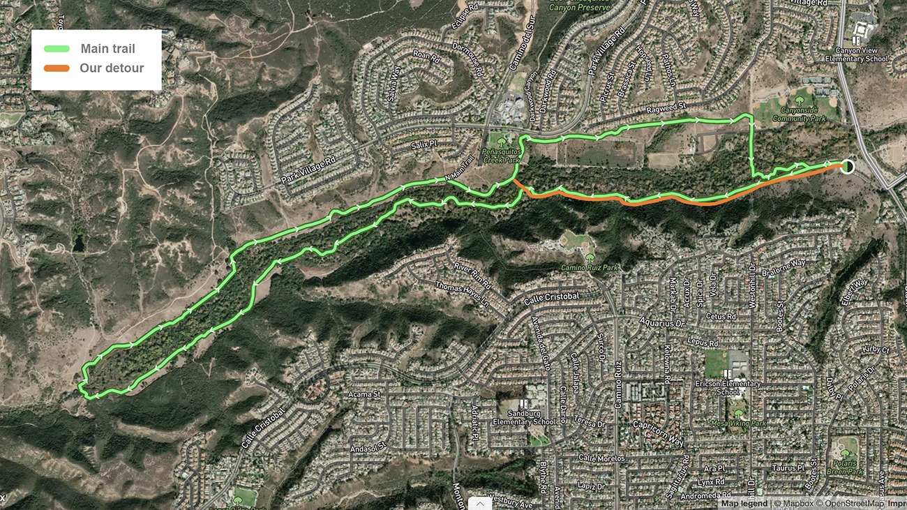
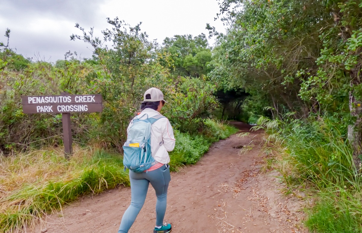
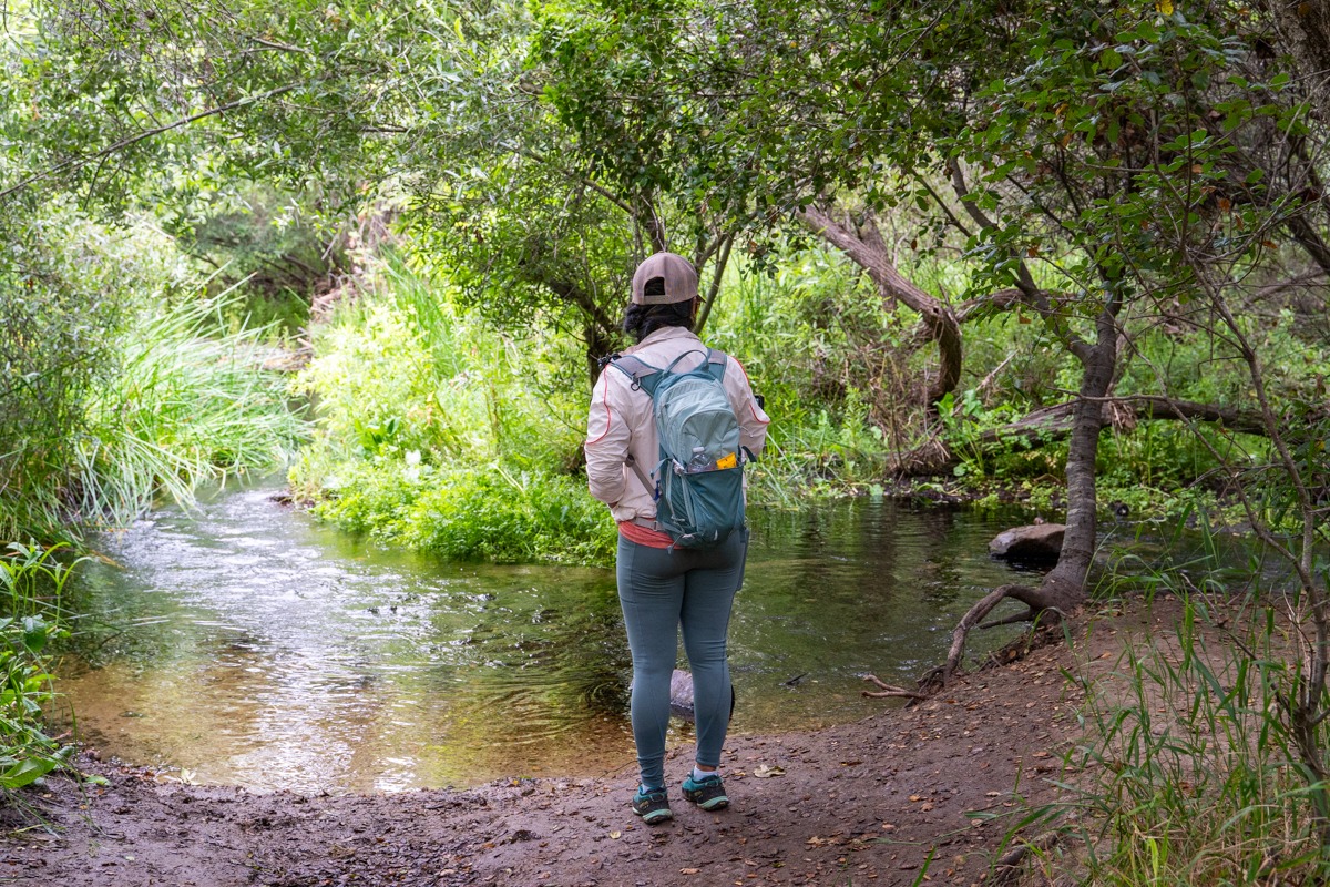
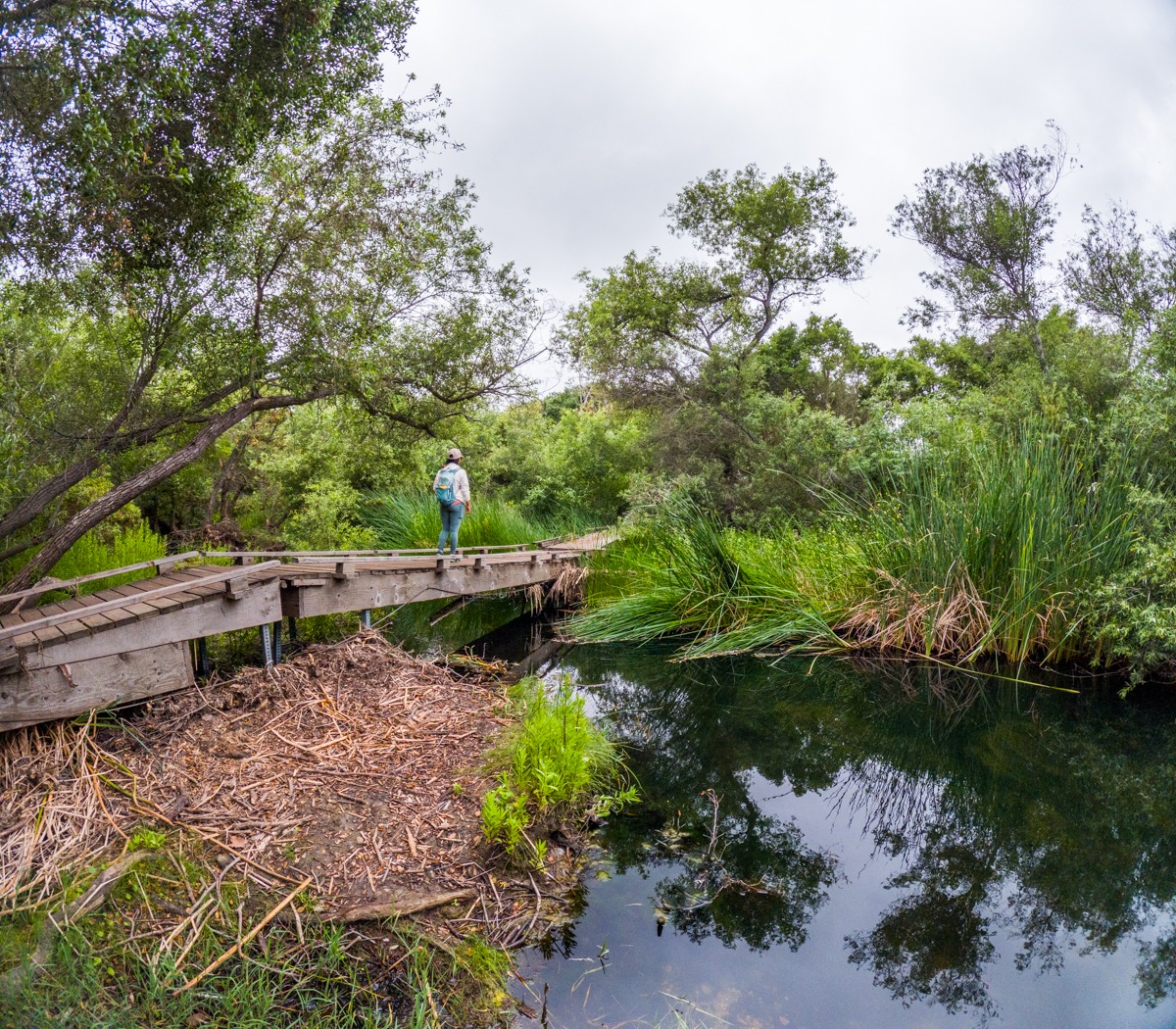
Penasquitos Creek Crossing
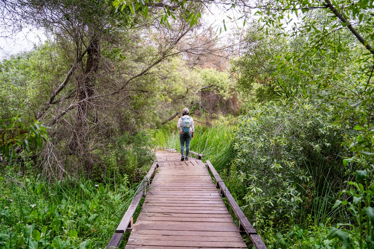
There are also many side trails and off-shoots along this north side. Some of them seemed to join back up to the main trail, while others went off somewhere else. We stayed on the main trail until we reached the junction for Penasquitos Creek Crossing. Here, we turned right to follow this creek crossing to go back to the south side. This creek crossing is very scenic. It starts under a canopy of tall trees and leads to a small wooden bridge. This wooden bridge is very picturesque. We had to stop and take a few photos. Once we cross over the creek, we follow the dirt trail to meet back up with the main Los Penasquitos Canyon Trail.
From here, we went left and followed the main Los Penasquitos Canyon Trail to go back to the car. It was such a fun adventure, even after being rained on. If you’re looking for something easy yet rewarding, we recommend giving this trail a try. Another easy hike that we like is Annie’s Canyon. If you’re in the San Diego area, check out Iron Mountain, and Cowles Mountain. These two are rated moderate. For harder hikes, try Potato Chips or Cuyamaca Peak.
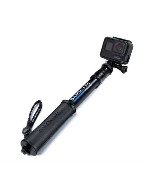
These are the gear that we personally use and find them helpful for this particular adventure. Don’t forget to check out our Recommended Gear section as well.
adventure gear

This is our favourite hiking shoes. We use them for canyoneering as well. Lots of traction. Vy’s version.

Dustin’s version for La Sportiva shoes

Make sure to use lots of sunscreens! We use eco-friendly, reef-safe sunscreen, Stream2Sea SPF 30.

Face sunscreen is also important. We love these tinted, organic All Good Organic Sunscreen Butter.

You should always bring plenty of water. Vy loves the Camelback L.U.X.E.

For shorter hikes, the Patagonia Women’s Nine Trails Pack 18L is perfect to hold water and your essentials.


If you want something lighter, we love the packable Patagonia Women’s Houdini® Jacket and Patagonia Men’s Houdini® Jacket
other things to bring
Always good to bring some snacks with you. For healthy and easy snacks, check out some of our recipes.


