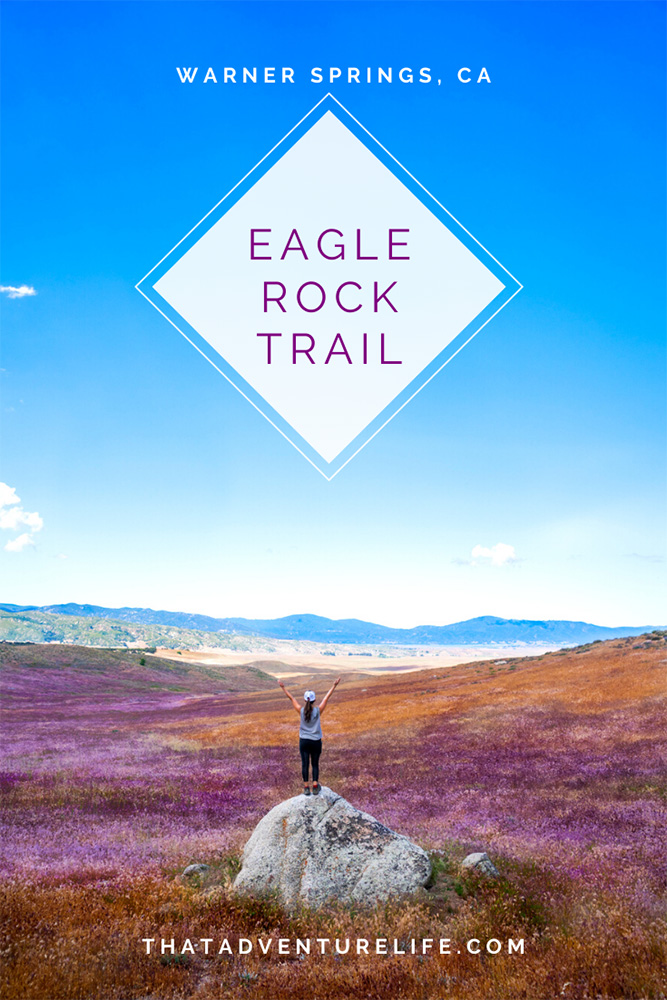
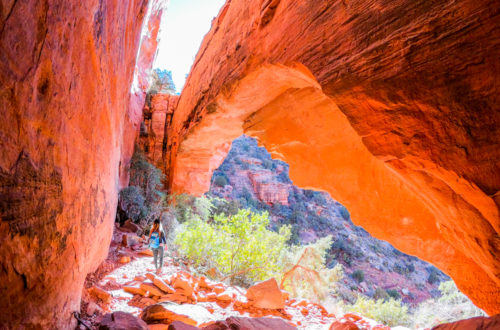
One thing we love about social media is the ease of finding cool new adventures and places that we may have not otherwise known about. This was the case with Eagle Rock in Warner Springs, San Diego. This beautiful hike takes you to a rock formation that looks like an eagle. As soon as we found out about this place, we packed up our hiking bag and headed out the Warner Springs. And the Great Eagle definitely did not disappoint!
Note: Always practice LEAVE NO TRACE. This means no loud music, no graffiti, no taking artifacts or fossilized items, and pack out what you pack in! Please help us protect this place for generations to come!
Stats
Where
The Eagle Rock Trailhead Pacific Crest Trail, Warner Springs, CA 92086 33°16’24.0″N 116°38’42.1″W Note:Some of the trail/hiking apps show the start of the trail as being a little further down the road than it really is.
Parking
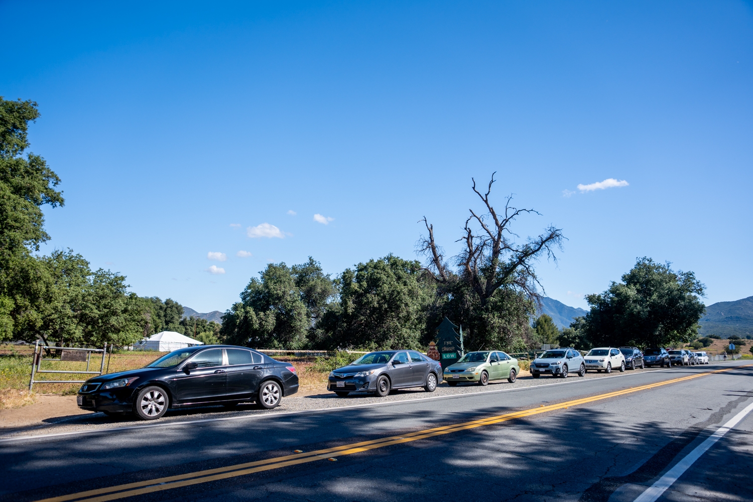
You can either park on the shoulder across from the fire station of at the Community Resource Center, just right down the street.
Restroom
There are restrooms at the Community Resource Center.
Fee
Free to hike and park.
Distance
6.4 miles R.T.
Elevation Gain
965 ft
Level
Easy to moderate (because of the distance) with some small uphill sections to get the heart rate up a bit.
Time:
3 – 4 hours depending on if you like to take as many pictures as we do.
Pet-friendly
You can bring your pet, but they have to be on a leash.
Ideal Time
Since the trail is mostly exposed, we recommend avoiding hiking in the Summer. Go on a cooler day or go early in the morning to avoid the heat.
Weather
Video
Getting to the Trailhead
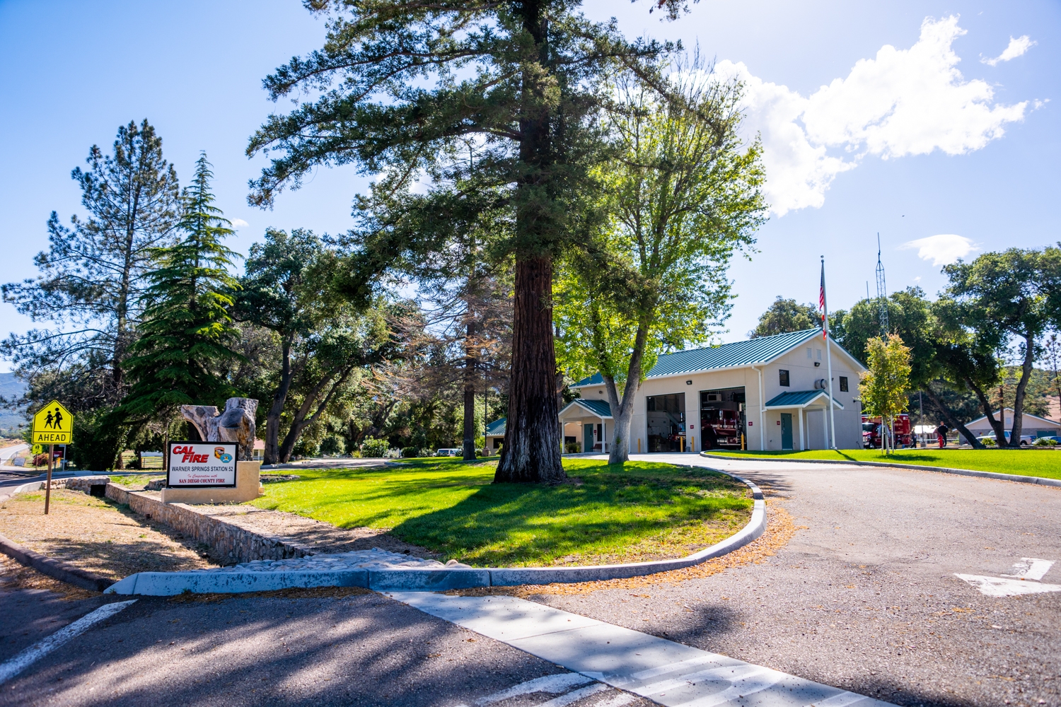
The trailhead for Eagle Rock Trail is located next to Warner Springs Fire Station. The GPS coordinates above will take you to the correct trailhead. Note: The road closest to Eagle Rock (Camino San Ignacio) is on private property. You can’t park there. Once you get to the Fire Station, you can either park on the shoulder across from it or park at the Community Center just down the street.
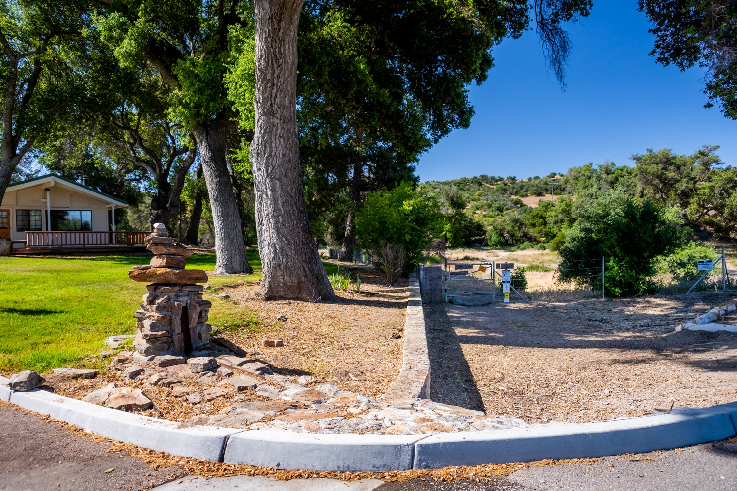
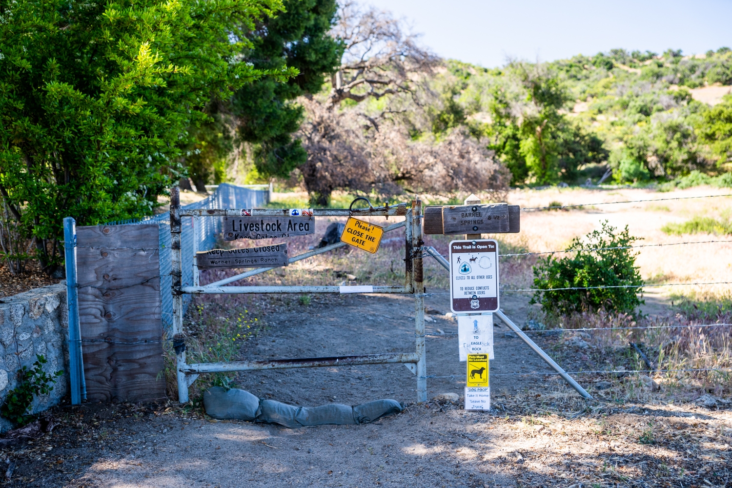
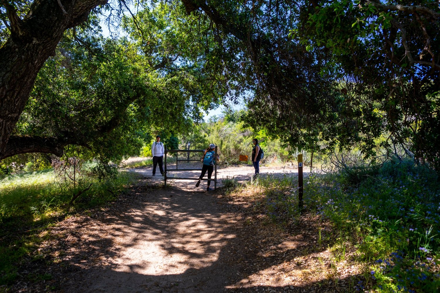
The trailhead is a little bit tricky to find. There isn’t any sign in front of the trailhead since it is part of the Pacific Crest Trail or PCT for short. To find the trailhead, face the fire station and look to the right. You should see a cattle gate guarding the trail behind it. This is where the Eagle Rock Trail starts.
Previous
Next
The Adventure
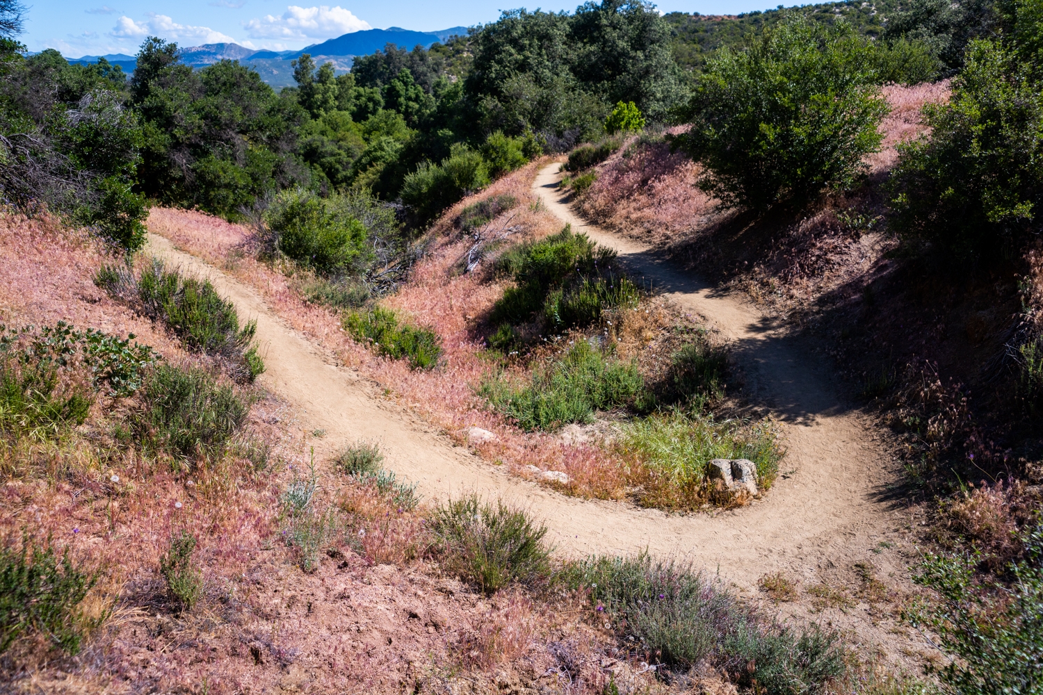
The Start of Eagle Rock Trail
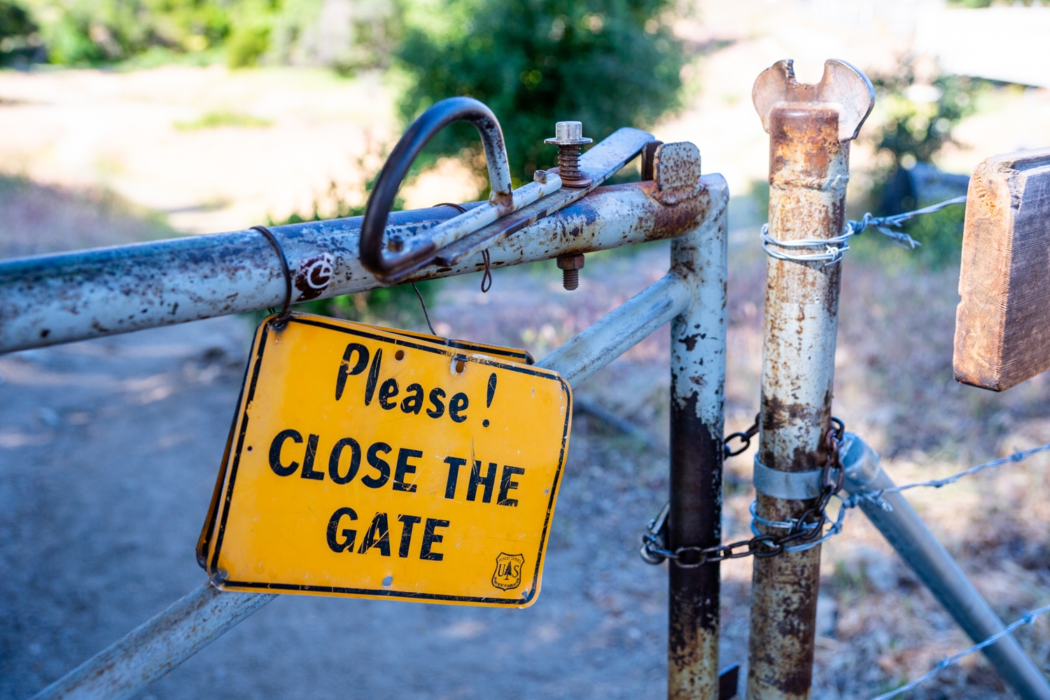
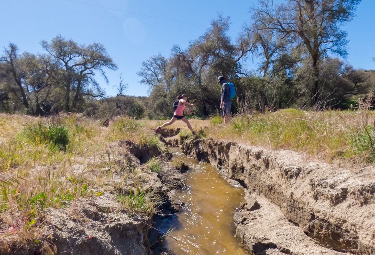
As we proceed through the gate, there is a sign that reminds us to close the gate. Please make sure to do so to help keep the cattle in. This is the first of 3 gates that you will go through. Soon after you pass the gate, the trail leads to a small water crossing. This area had eroded so much that this small water crossing had become significantly larger since we last hiked this trail. There isn’t really a way to bypass it. We usually tried to find the smallest gap to jump over.
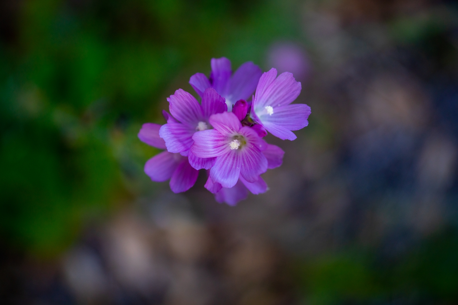
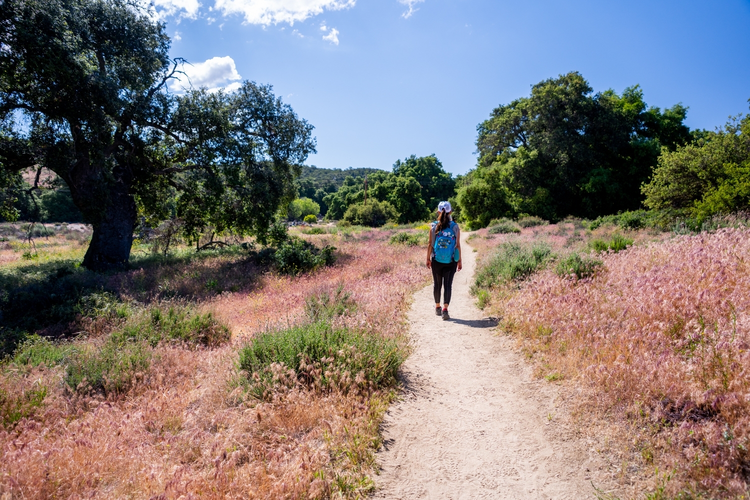
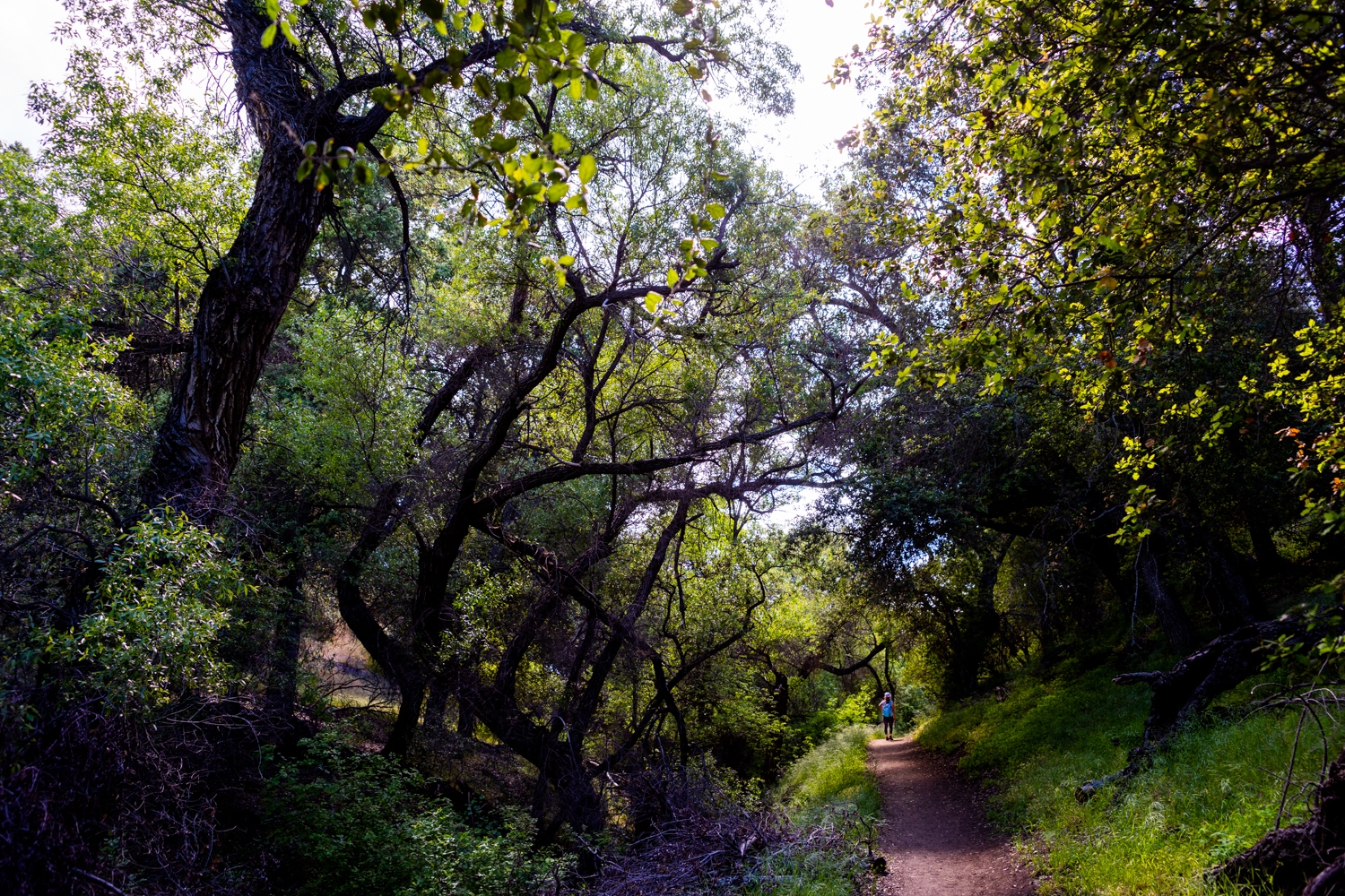
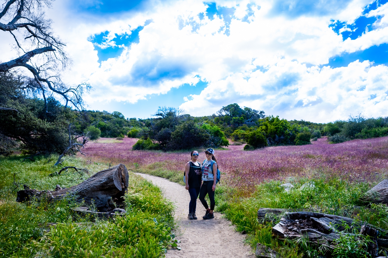
The trail will now dive into a beautiful forest section that had us wondering if we were still in California. It seemed like Spring was in full swing in Warner Springs. There were many different kinds of wildflowers on the trail that day. We couldn’t help but take a lot of small breaks to photograph them all.
Previous
Next
Passing the 2nd and 3rd Gates
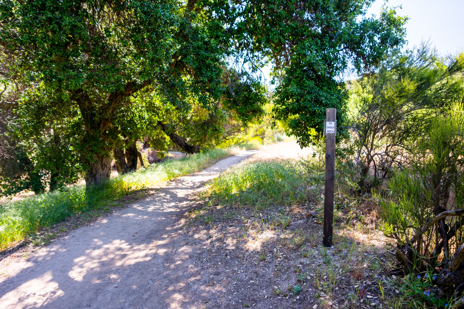
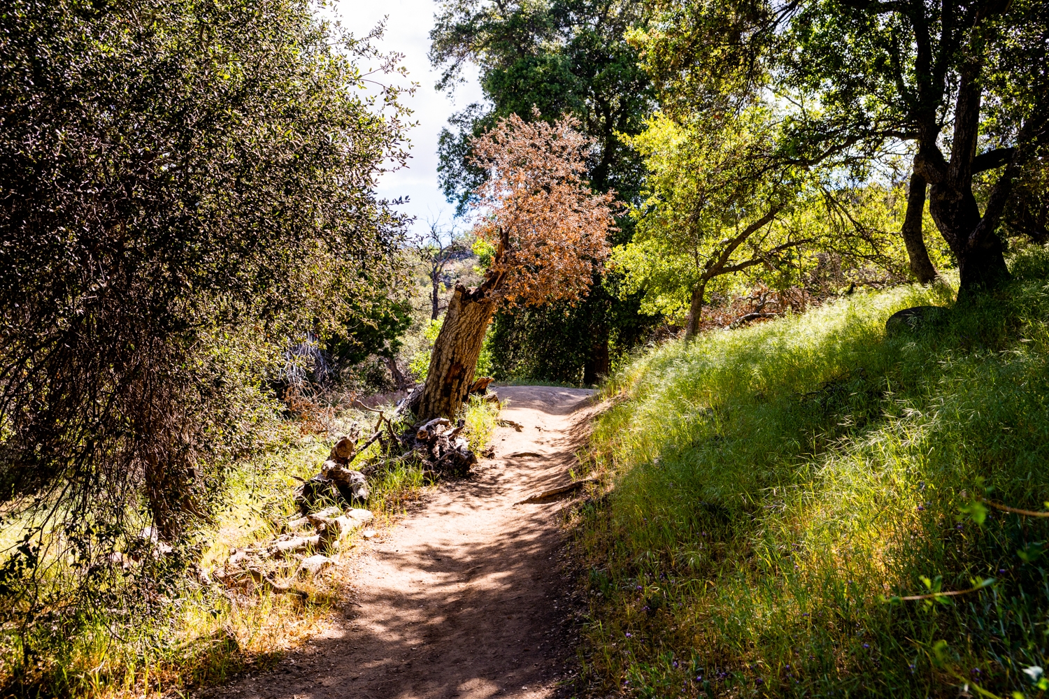
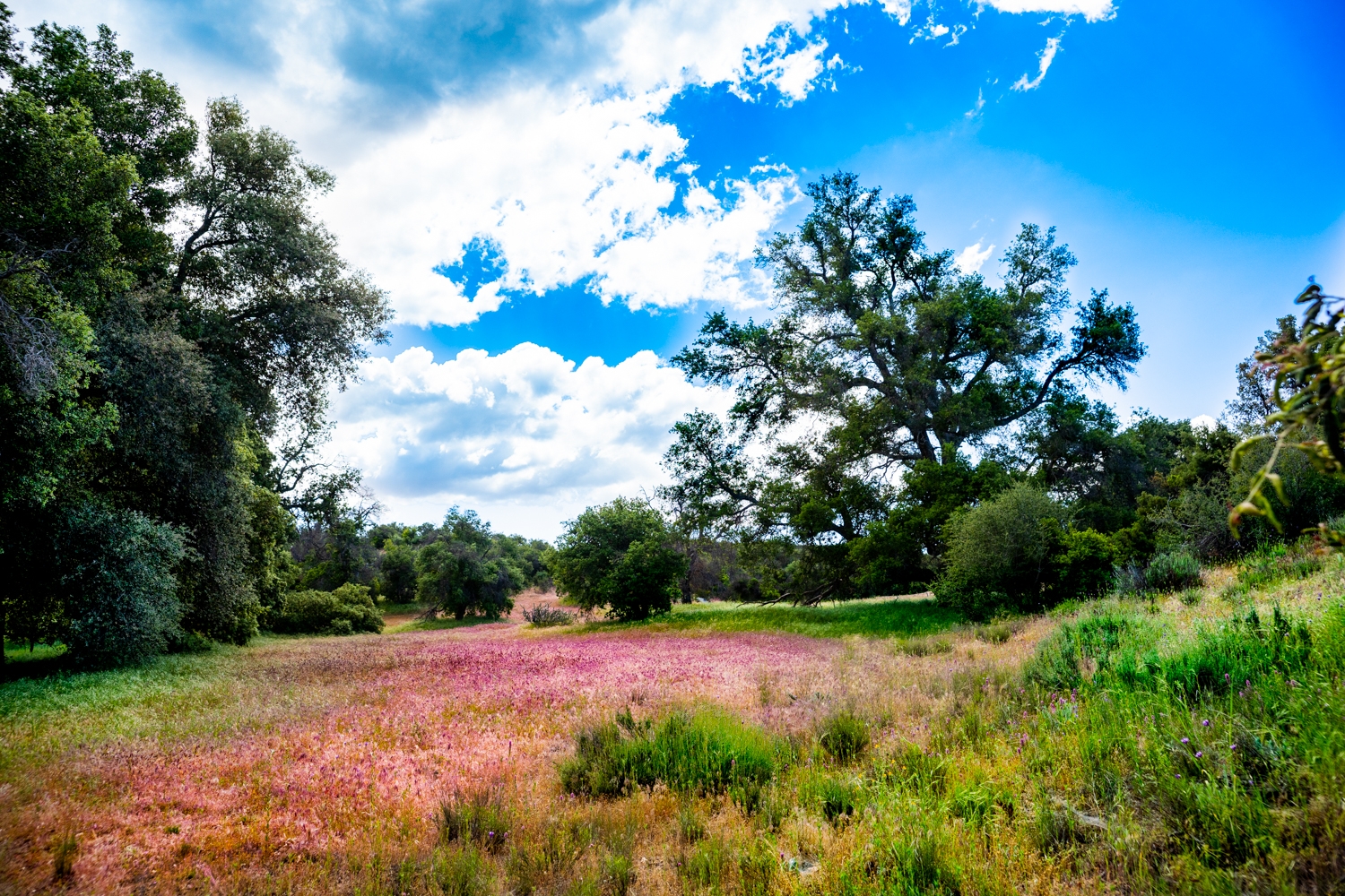
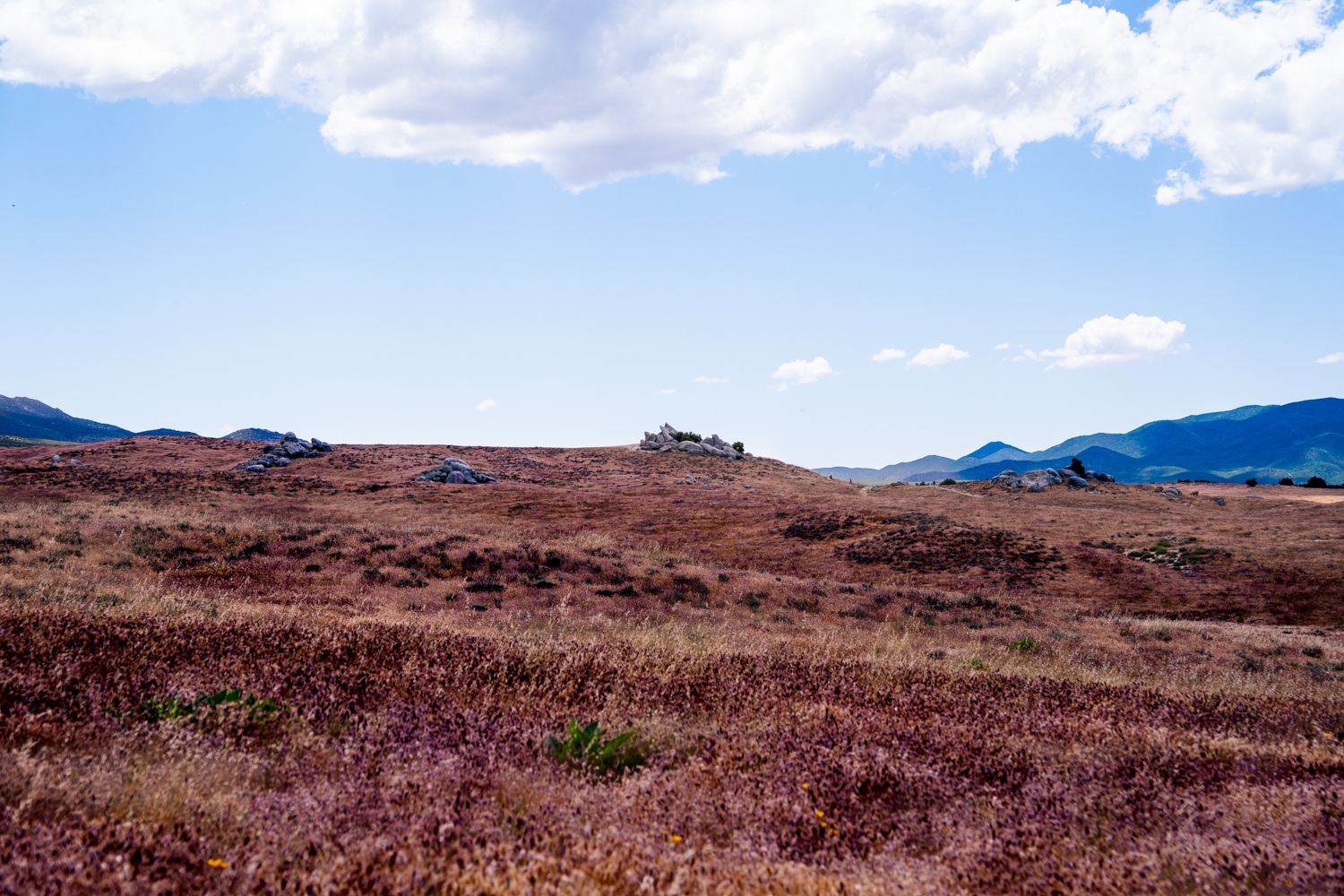
Around the 0.2-mile mark, you should find yourself at the second gate. Head on through and follow the very well-marked sign that is pointing towards Eagle Rock. The 3rd gate is not too far after. There were a lot of fast-moving clouds on the day we went, so the forest was constantly changing from a beautiful soft light to harsh shadows all over the place. One of the interesting things about this hike is that it seems to switch back and forth between 2 different ecosystems. Certain parts of the trail are deep in the forest. Then you’ll head up a hill and find yourself in a desert landscape. Some areas are a bit of a blend between the two, beautiful lush flowers intertwined around a prickly cactus.
Previous
Next
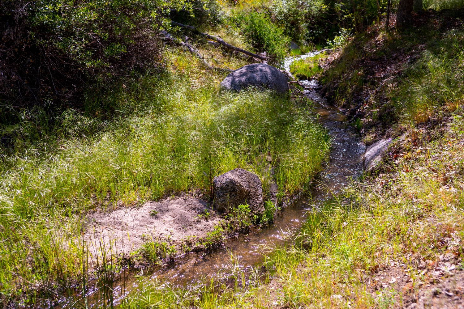
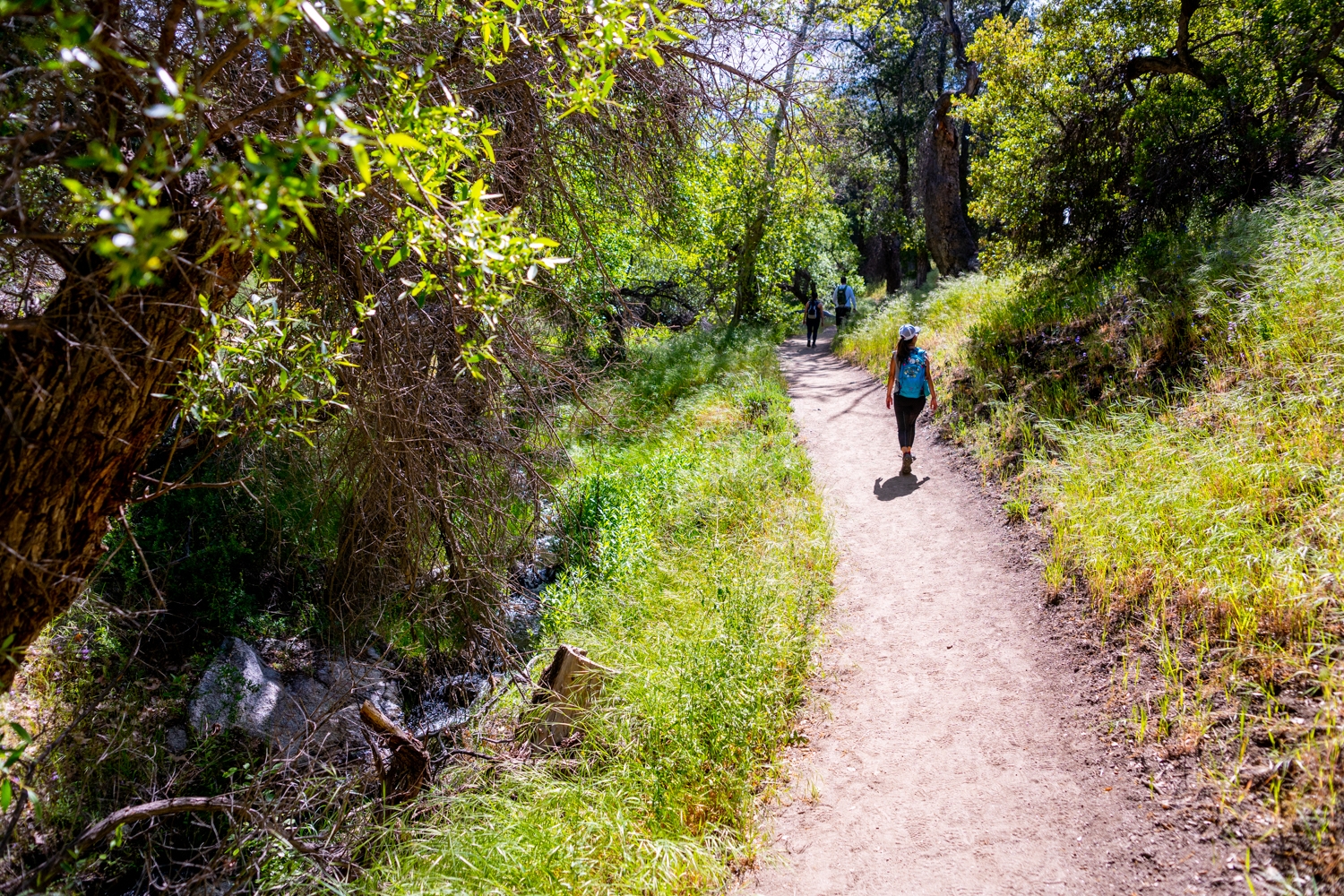
Through the Forest
After passing through the third gate, you’ll come to a nice little brook with an occasional micro waterfall. The brook parallels the trail for the next half mile and adds a nice touch of serenity to the environment around you.
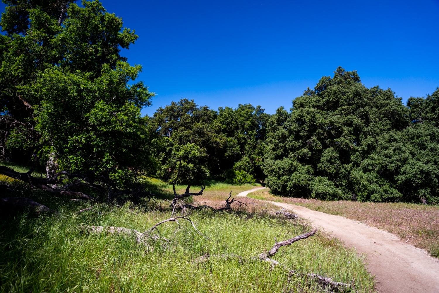
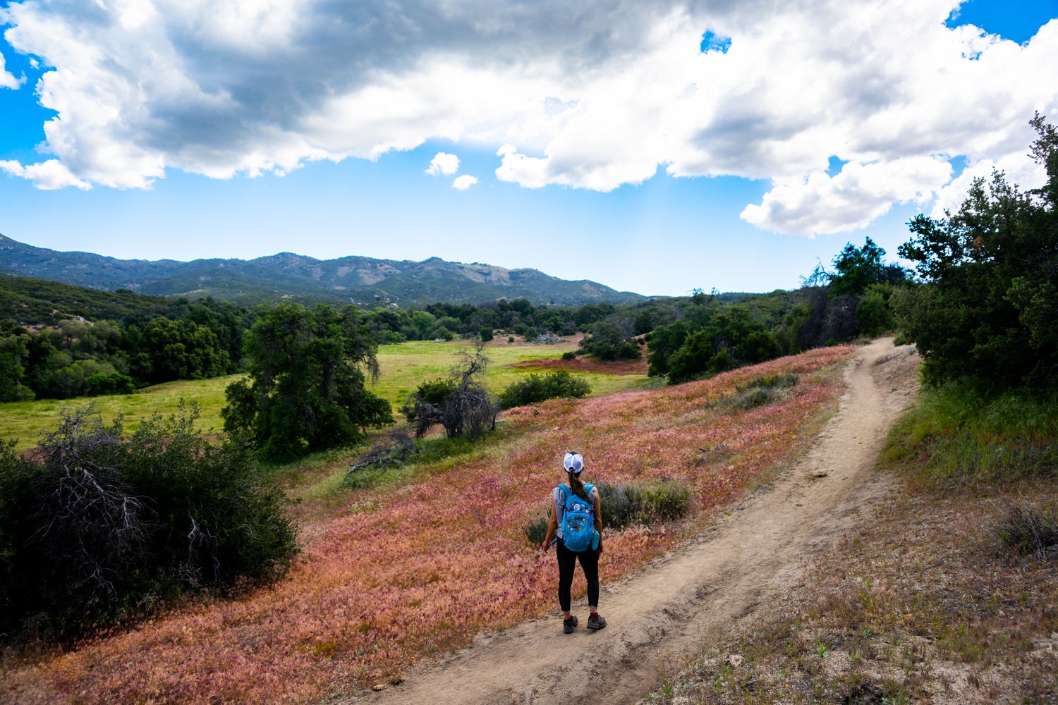
When you reach the 1.7-mile mark, you will be making a full change to a desert environment. There will be little to no shade for the rest of the hike. You will also have this gorgeous plain, off to your left side. When we went, it was very lush and green. However, for some reason, it was also surrounded by these really interesting twisted dead trees. I don’t know why, but spots like this always make me think about Jurassic Park. I’d love to run through this field in one of those inflatable T-rex costumes!
Previous
Next
To the Valley
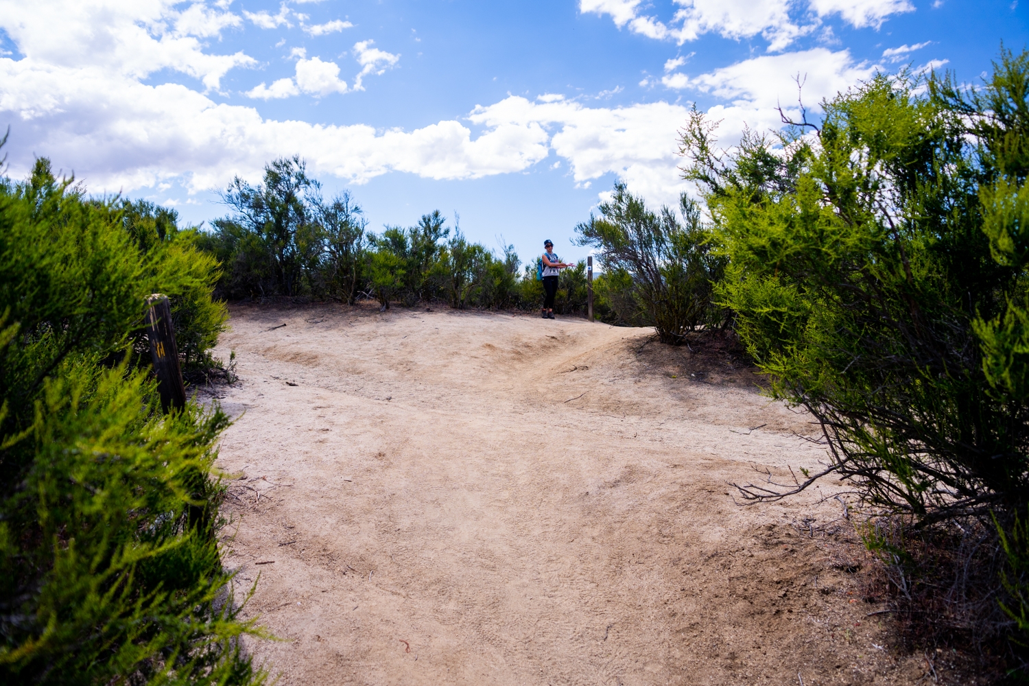
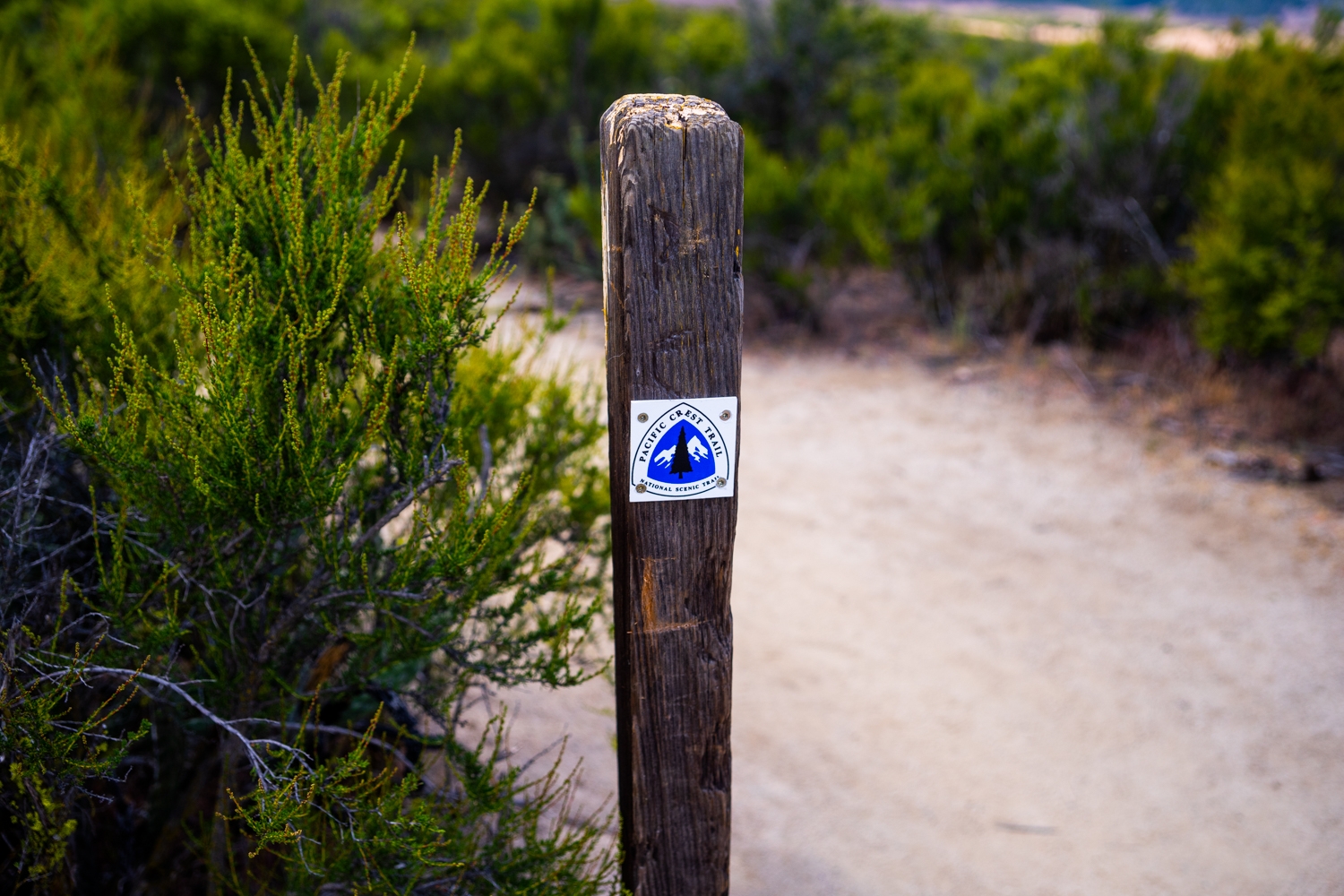
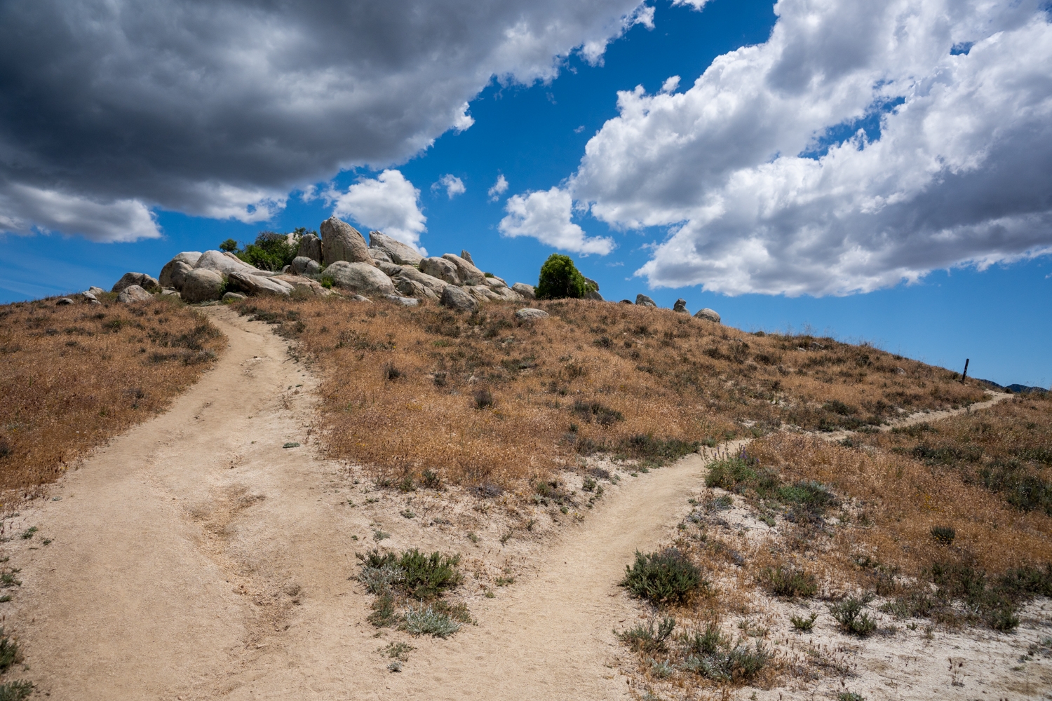
At the 1.9-mile mark, you will come to the only tricky part of the trail. You will find yourself at an intersection. We weren’t exactly sure where to go until we saw the post with the small PCT logo on it. Pretty much you’ll want to follow along the Pacific Crest Trail, so just go straight across the intersection.
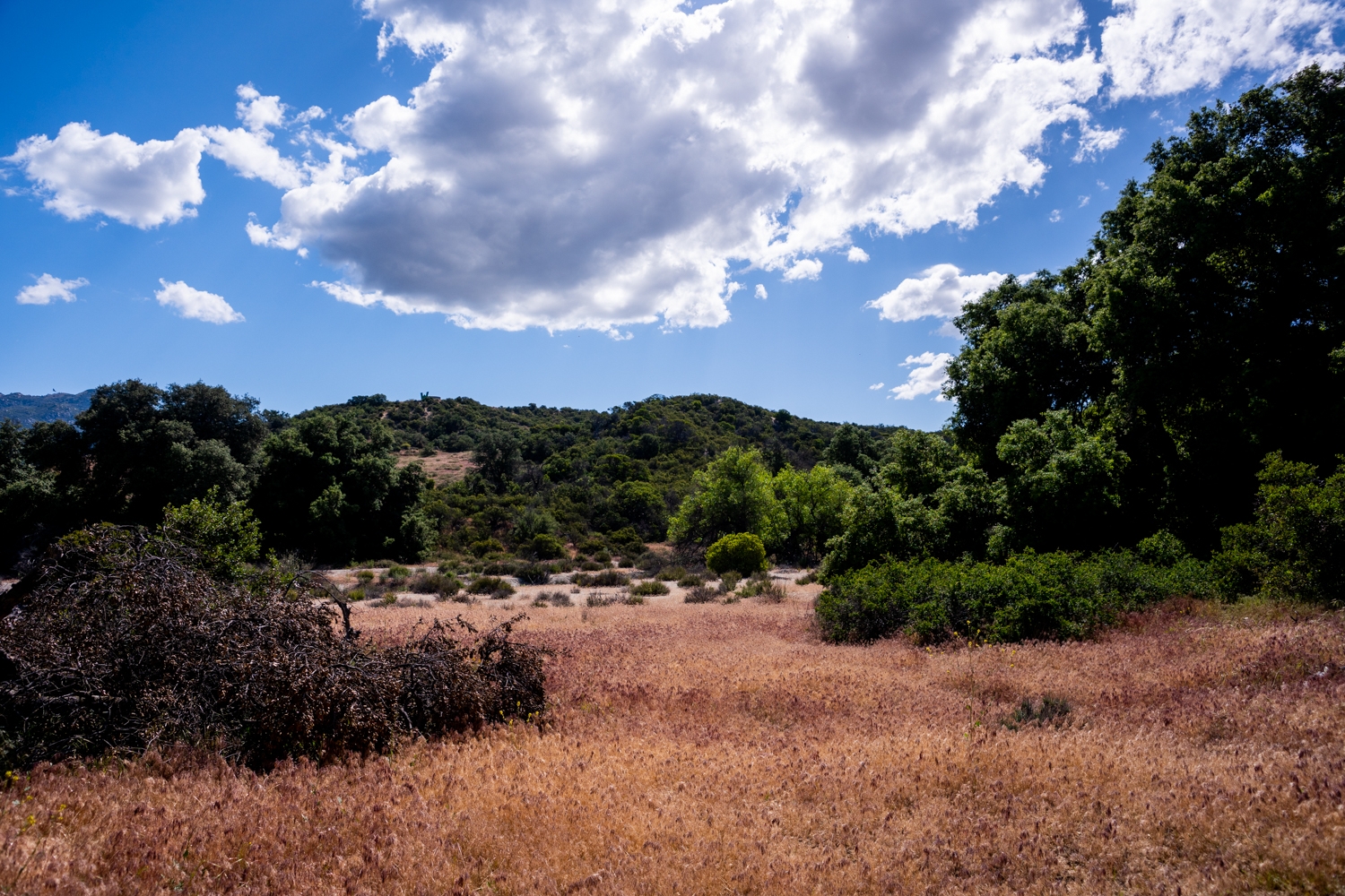
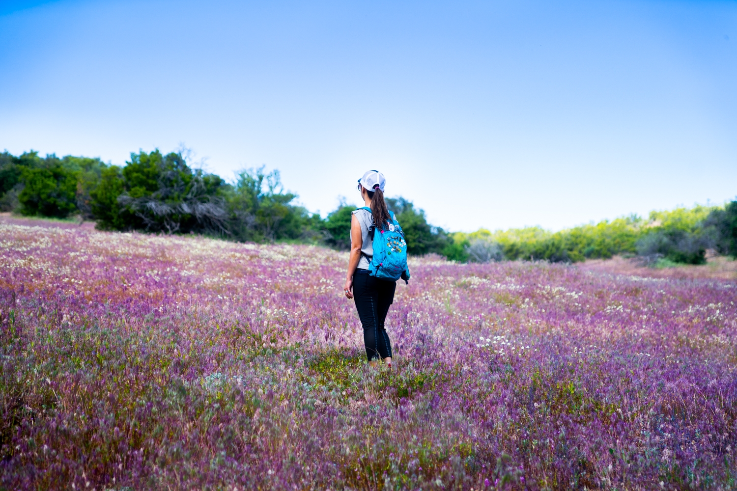
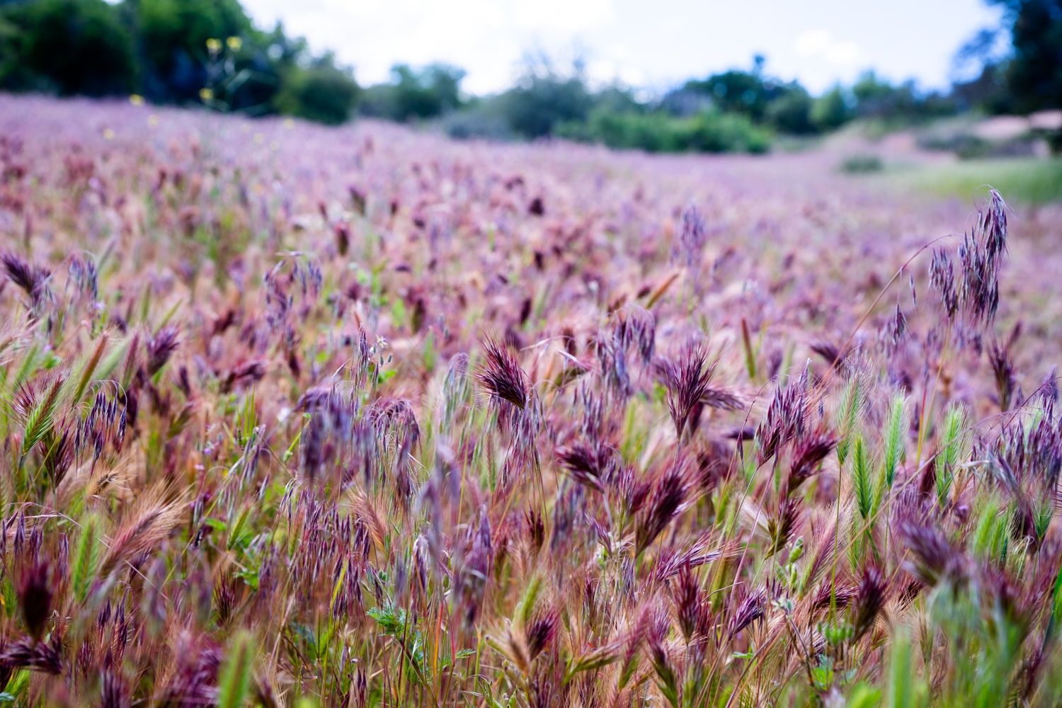
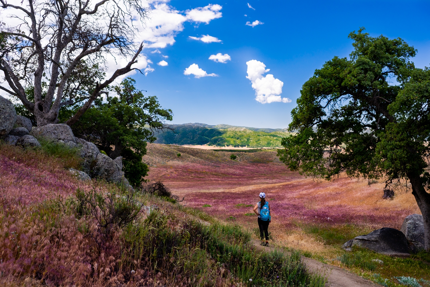
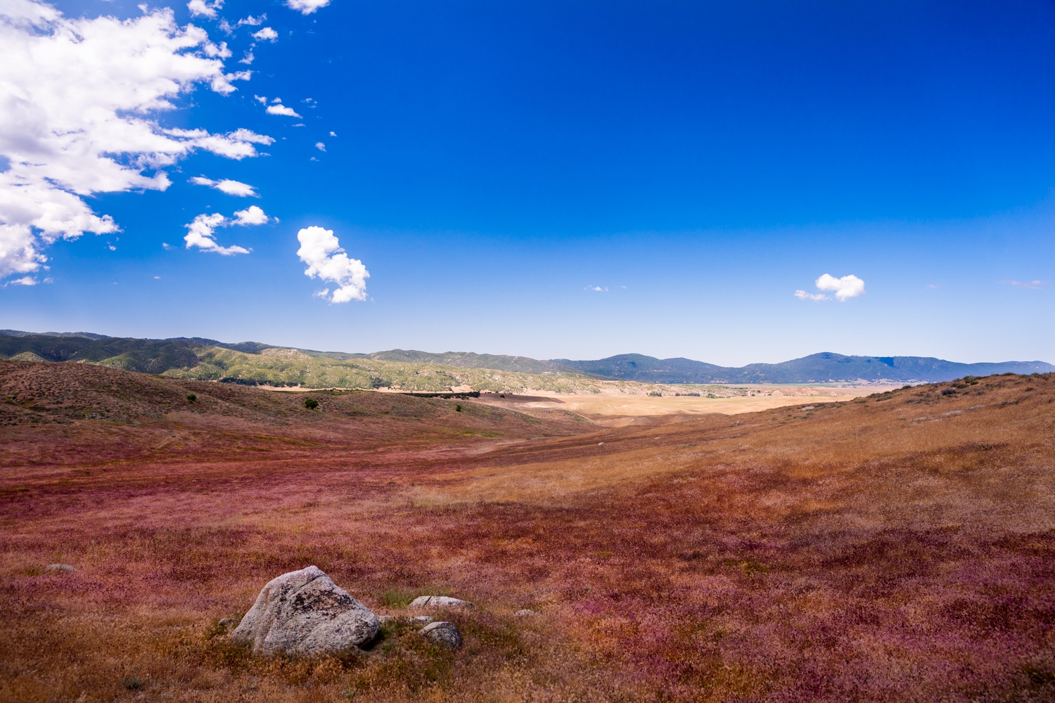
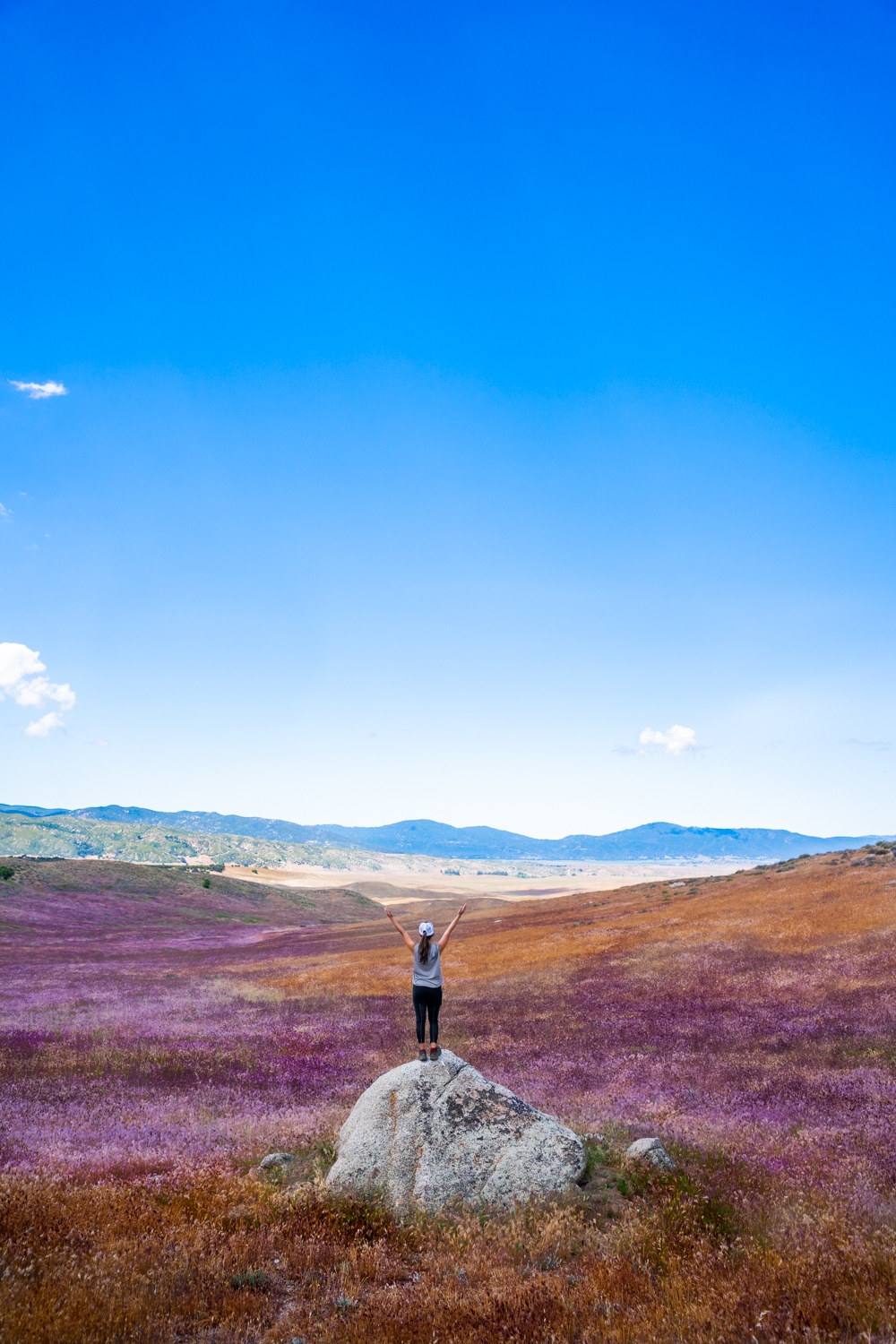
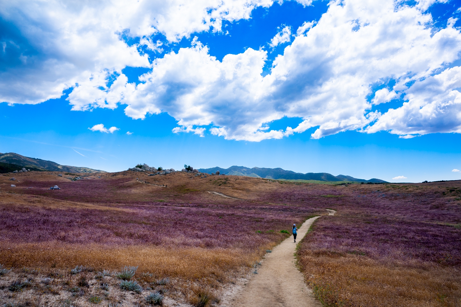
After the intersection, you’ll wind your way down into an expansive valley. When we went, we were treated to a sea of golden and almost lavender-colored foxtails. As much as we hate having foxtails in our shoes, they are very pretty to look at as they dance in the breeze. On a clear day around the 2.2-mile mark, you should be able to see Lake Henshaw off in the distance on your right.
Previous
Next
Almost to Eagle Rock
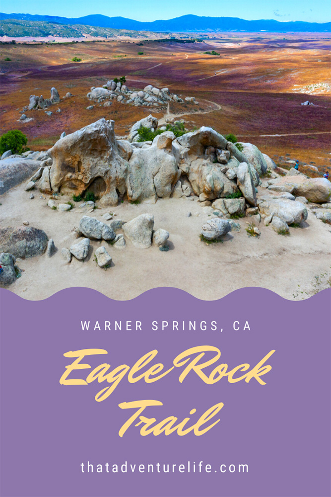
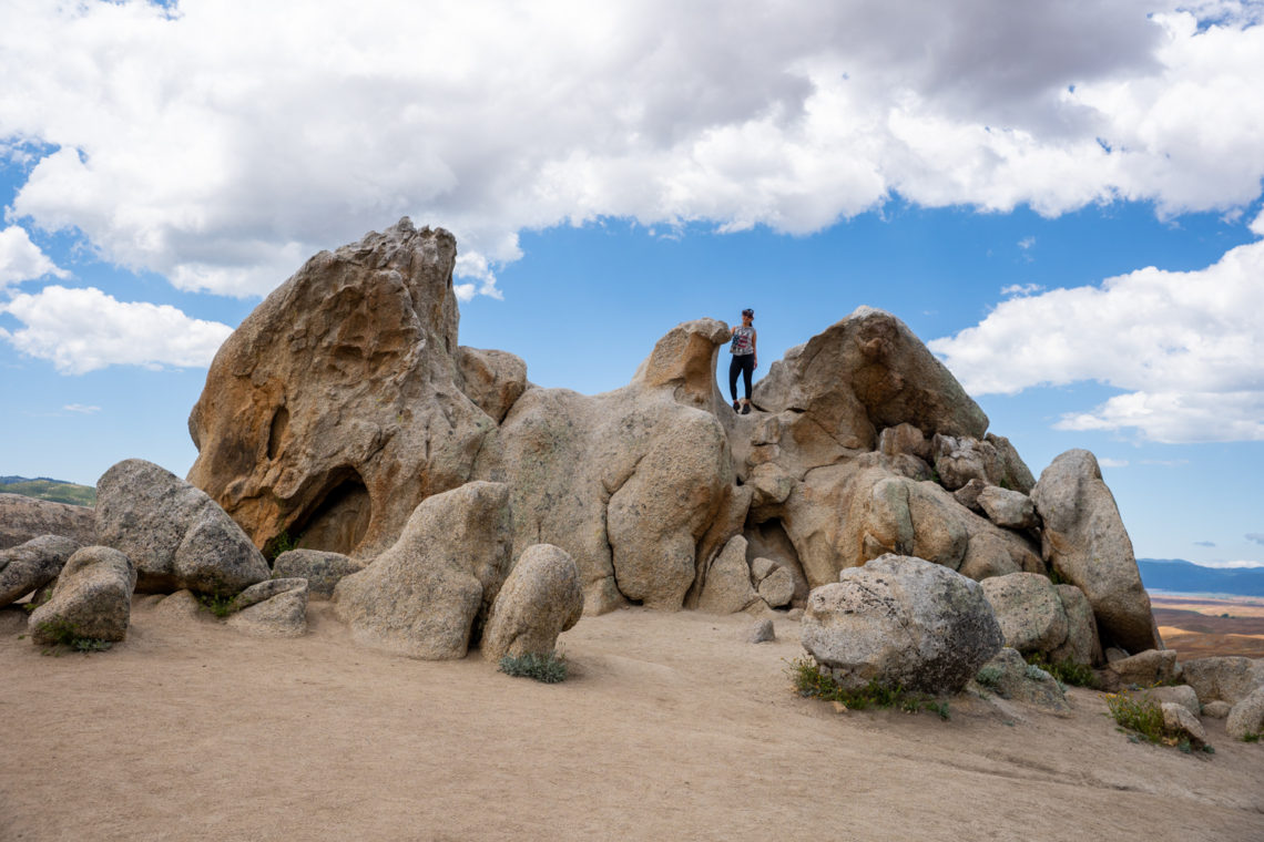
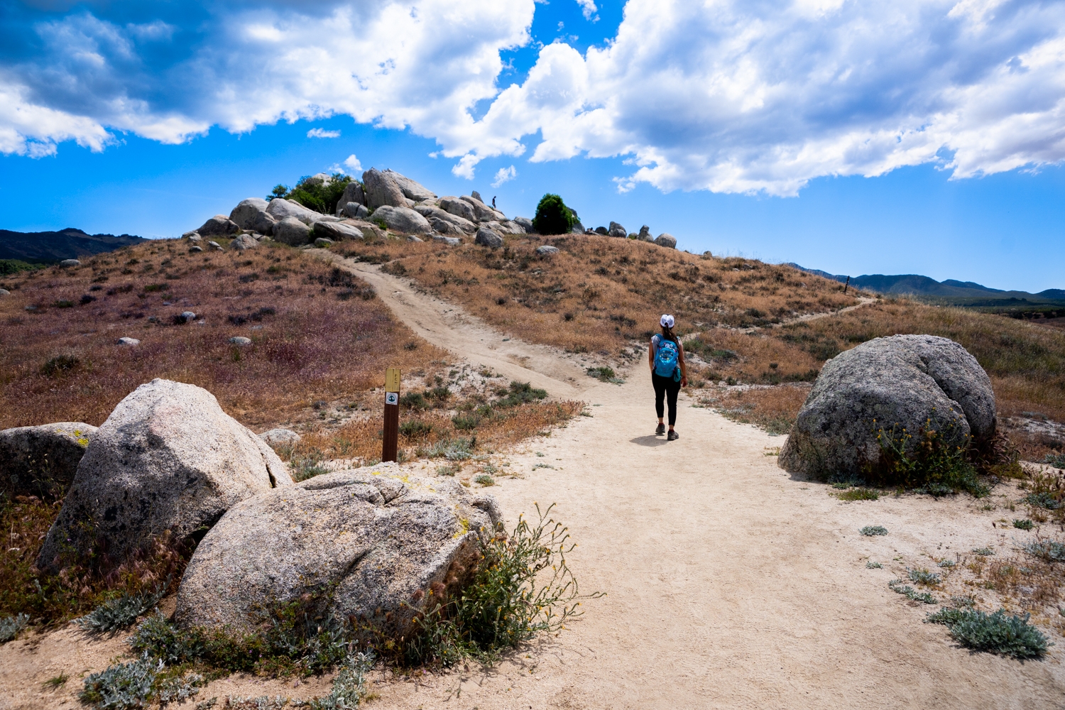
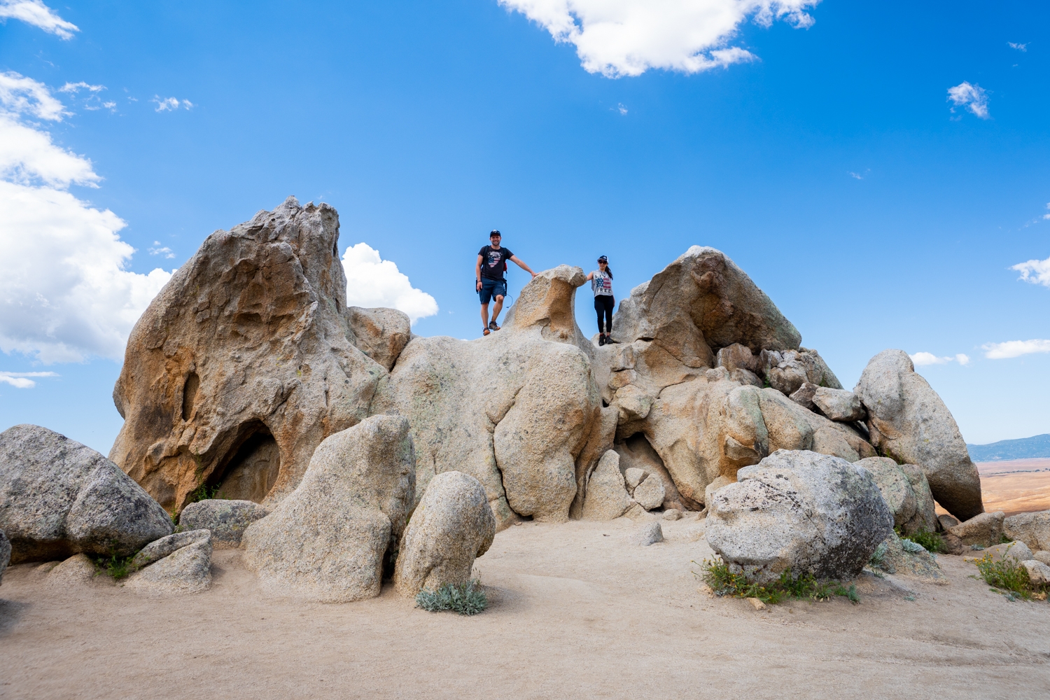
When you reach 2.4 miles into the hike, you should be getting your first glimpse of Eagle Rock. You’ll be coming up to the rock from behind so it might not be very obvious, but it’s not easy to miss. The trail is mostly flat and changes to a small uphill before reaching the giant rock bird. When you get to the base of the rock, there’s a split on the road there. You can either go left or right to circle around to the front. Congratulations! You have made it! You are now standing before the great Eagle Rock. I’m sure he is impressed by the journey you have taken to get to him.
Previous
Next
Eagle Rock
It is easy to see where this roughly 20-foot-tall rock gets its name. If you want your picture on top of the giant bird, you can get up onto his shoulders two different ways. The fun but more difficult way is by climbing/scrambling up the right side from the front. The easier way will be from the backside. The back side is also the easiest to get down from. There are a few shaded spots here, making it a perfect place to have your victory lunch before heading back to the car. To get back to the car, just go the same way that you came.
The Eagle Rock hike has definitely cemented itself on our must-do list because not only did you get to see a super cool natural eagle-shaped rock, but the entire hike was beautiful. If you’re still up for more adventures after this hike, you’re about 30 minutes about from Anza Borrego State Park. Go check out the Galleta Meadows Metal Sculptures, or hike down the super cool Slot Canyon. If you’re looking for more beautiful hikes, we recommend Iron Mountain Trail or Cowles Mountain Trail.
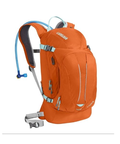
These are the gear that we personally use and find them helpful for this particular adventure. Don’t forget to check out our Recommended Gear section as well.
adventure gear
This is our favourite hiking shoes. We use them for canyoneering as well. Lots of traction. Vy’s version.


